
The enduring sentiment in the American West, particularly concerning the Colorado River, often boils down to a territorial possessiveness: "If we don’t use the water, it will just flow downstream to California." This deeply ingrained notion, born from the region’s arid climate, unique water laws, and a historical undercurrent of animosity towards its larger, more prosperous neighbor, has become a focal point of the current crisis. As the Colorado River and its vital reservoirs plummet to critically low levels, the seven states reliant on this lifeline are locked in a struggle to determine how much of this dwindling resource should indeed flow downstream, fundamentally questioning the allocation and usage principles established over a century ago.

The roots of this conflict are deeply embedded in Western water law, specifically the doctrine of prior appropriation, which grants senior water rights holders the right to their decreed amount, regardless of the impact on junior users. By the early 20th century, a rapidly expanding California was aggressively diverting substantial portions of the Colorado River, securing vast senior water rights through its burgeoning agricultural districts. This left less populated upstream states like Colorado, Wyoming, and Utah watching with growing concern as downstream entities gained control over an ever-larger share of the river they considered their own. To quell the rising tensions and secure support for ambitious dam projects on the lower river, the seven basin states convened to forge the Colorado River Compact of 1922. This landmark agreement divided the basin into an Upper Division (comprising Colorado, Wyoming, Utah, and New Mexico) and a Lower Division (Arizona, California, and Nevada), with Lees Ferry in Arizona serving as the dividing point. The compact’s central tenet was to divide the river’s water equally, allocating 7.5 million acre-feet (MAF) annually to each basin, a figure that was then believed to represent the river’s dependable yield.
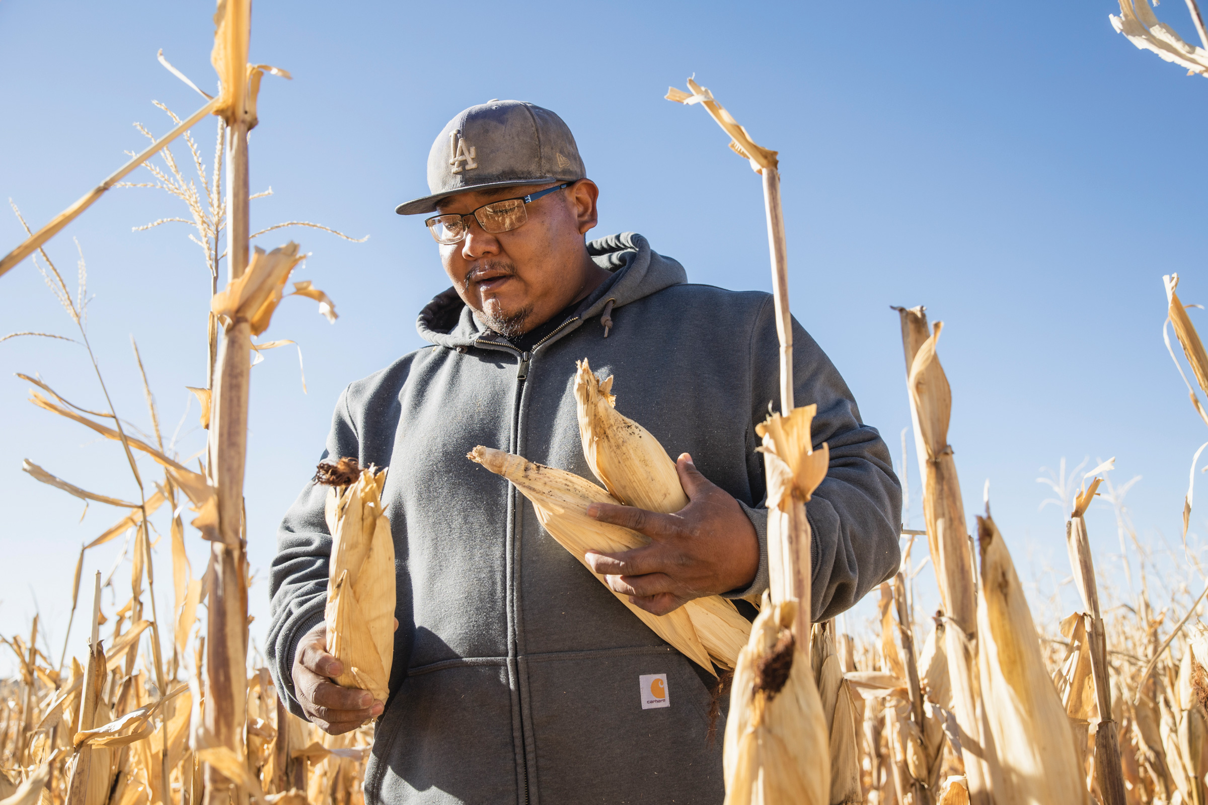
Crucially, the 30 tribal nations residing within the Colorado River watershed, who possess the most senior water rights as the river’s original stewards, were deliberately excluded from the compact negotiations, a significant affront to their sovereignty. This exclusion has set the stage for future conflicts as tribes work to quantify and settle their water rights with the federal government. Each tribe’s allocation is incorporated within their respective basin’s and state’s allotments, meaning current negotiations over basin-level cuts will ultimately determine how these cuts are distributed among individual users, including tribes, within each basin. While parties with pre-compact, "present perfected rights," many of which belong to tribes in the Lower Basin, are likely to be shielded from reductions under the prior appropriation framework, the overall impact on tribal water security remains a critical concern.

The Colorado River Compact, while a foundational agreement, was inherently flawed. The Upper Basin states have historically used far less than their allocated 7.5 MAF, typically around 4 MAF, while the Lower Basin has consistently consumed more than its share, sometimes exceeding 11 MAF. This imbalance was manageable when the river flowed abundantly, but the past 26 years have painted a starkly different picture. Driven by a confluence of warming temperatures and prolonged drought, the snowpack in the headwaters states has diminished significantly, leading to a precipitous decline in the river’s flow. Since the turn of the century, the average annual "natural flow" at Lees Ferry, the theoretical amount of water entering the system without human intervention, has hovered around 12 MAF, a stark contrast to the 2002 figure of less than 6 MAF, which was barely half of the Lower Basin’s consumption at the time.
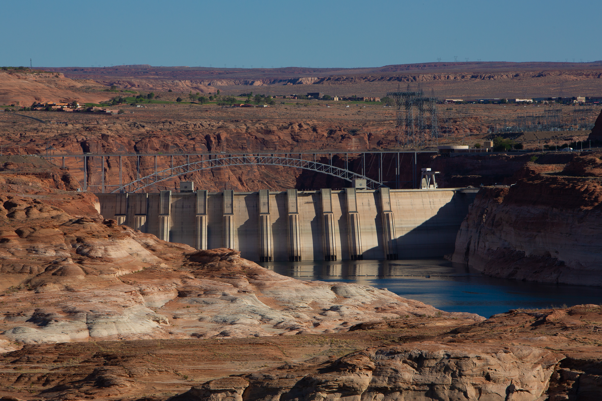
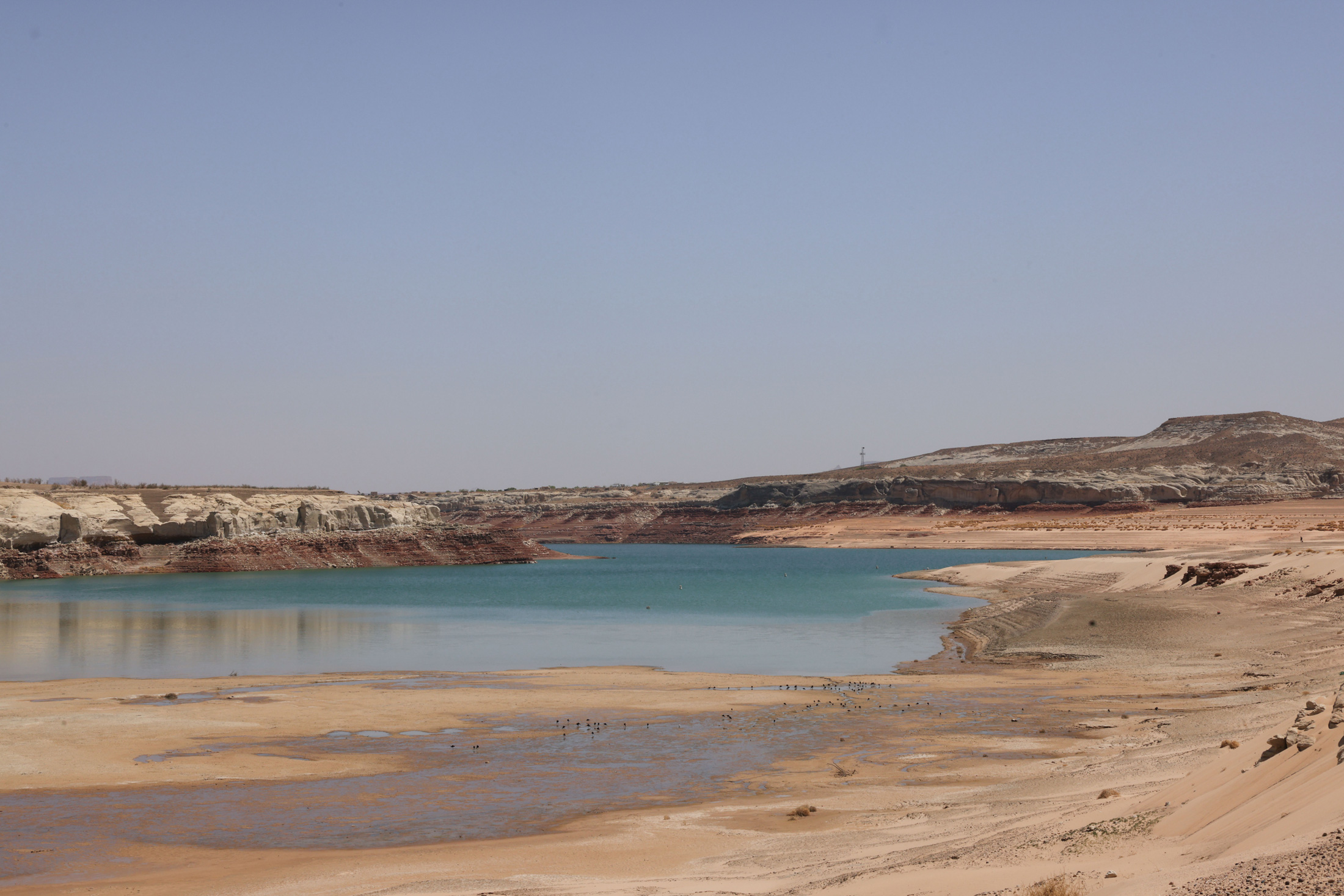
These meager flows render the compact’s projections increasingly unrealistic. The Upper Basin faces a significant challenge in adhering to the compact’s "non-depletion clause," which stipulates that the Upper Basin "will not cause the flow of the river at Lee Ferry to be depleted below an aggregate of 75,000,000 acre feet for any period of ten consecutive years." While interpretations vary, this clause effectively obligates the Upper Basin states to allow water to flow downstream, even if it means they face shortages themselves. The construction of Glen Canyon Dam and Lake Powell was intended to serve as an Upper Basin reservoir, a crucial savings account to draw upon during dry periods. However, in recent decades, withdrawals have consistently outpaced inflows, leaving Lake Powell at approximately one-third of its capacity and critically close to its minimum power pool – the point at which water can no longer be released through its hydroelectric turbines.

This looming milestone carries profound implications. Should Lake Powell reach its minimum power pool, as federal forecasts suggest may happen as early as the upcoming fall, the dam will cease generating hydropower for Southwestern utilities. Furthermore, all water releases would be forced through lower outlets not designed for sustained, high-volume use, potentially compromising the dam’s structural integrity. Bureau of Reclamation engineers have issued stark warnings against this scenario, effectively defining the minimum power pool as a de facto dead pool. Continuing current climate trends means that avoiding this critical threshold necessitates either a substantial increase in water flowing into Lake Powell through drastic curtailments of Upper Basin water use and draining upstream reservoirs, or a significant reduction in releases from Glen Canyon Dam. Such a reduction would impose severe cuts on the Lower Basin, impacting the Grand Canyon’s ecosystem and its endangered native fish.
The path forward requires a delicate balancing act, and the solution, while conceptually straightforward, is politically fraught. In 2022, the Department of the Interior urged the seven states to collaboratively develop a plan to reduce overall consumptive use by 2 million to 4 million acre-feet annually. To date, however, a consensus remains elusive. The Lower Basin states, having already exceeded their allocated shares, have agreed to further reductions, contingent upon the Upper Basin also implementing mandatory and verifiable cuts. Simultaneously, the Lower Basin seeks to maintain a version of the non-depletion provision.

Upper Basin negotiators contend that they have not yet utilized their full entitlement and consume significantly less water than the Lower Basin. They question the fairness of being forced into further reductions, especially given that many Upper Basin water users, particularly those with junior rights, already face severe curtailments during dry years due to the region’s limited reservoir capacity. In 2021, for instance, numerous farms in southwestern Colorado saw their irrigation ditches shut off by June, forcing them to abandon the growing season, while the Ute Mountain Ute Tribe received only about 10% of its water allocation.
Logistically, implementing reductions is also simpler in the Lower Basin, where water is supplied to major population centers and agricultural hubs through a few large diversion systems, such as the Central Arizona Project canal serving Phoenix and Tucson, the All-American Canal supplying the Imperial Irrigation District’s vast alfalfa fields – the single largest water user on the river – and the Colorado River Aqueduct supplying Los Angeles and other California cities. These systems draw from major reservoirs like Lake Mead. In contrast, the Upper Basin relies on hundreds of smaller diversions from the river and its tributaries, making significant cuts a complex undertaking involving potentially thousands of small water users and numerous irrigation ditches, all under uncertain regulatory authority.

The Upper Basin has proposed a "supply-driven" plan, where releases from Lake Powell would be dictated by the river’s and reservoir’s actual water levels, thereby aligning with the spirit, if not the precise figures, of the Colorado River Compact. While the Lower Basin has shown interest, detailed agreements on flow percentages and the retention of a non-depletion minimum-flow requirement are still pending.
Ultimately, the river basin’s climate and hydrology may dictate the outcome, irrespective of any negotiated agreement. As Lake Powell’s levels continue to drop this summer, the Bureau of Reclamation will likely draw down upstream reservoirs like Flaming Gorge, Blue Mesa, and Navajo to delay the inevitable. However, once Lake Powell reaches its minimum power pool, dam operators will face an unenviable choice: risk damage to the dam by releasing water through the river outlets or shift Glen Canyon Dam to a "run-of-the-river" operation. The latter would stabilize the reservoir level by matching releases to inflows minus evaporation and seepage. This would result in significantly reduced outflows, causing Lake Mead’s levels to plummet and forcing the Lower Basin states into potentially devastating cuts. The Central Arizona Project, possessing one of the basin’s most junior water rights, would almost certainly face substantial reductions, jeopardizing the water supply for all the cities and farms it serves. If these diminished releases persist, the Upper Basin could find itself in violation of the non-depletion clause, potentially triggering litigation from downstream users and thrusting the entire watershed back into the contentious and uncertain era that preceded the compact.

The author once pondered the fixation on Colorado’s water flowing to California, viewing it as a misplaced concern. The desire to retain water originating within one’s state is understandable, but preferring to let it stagnate in reservoirs or go unused rather than sharing it seemed counterproductive. After all, any water that flows downstream benefits the river’s ecosystem, its wildlife, and recreational users for a longer duration. Perhaps the most significant failing of the Colorado River Compact was not its overestimation of the river’s water supply, but its adversarial approach, pitting states, tribes, and water users against one another rather than fostering a collaborative framework for the entire watershed’s well-being. As the climate continues its inexorable warming and drying trend, leaving less water for all, the compact’s relevance may soon be eclipsed by the stark realities of scarcity. The time may be ripe to reconsider not only the compact’s provisions but also the foundational prior appropriation doctrine on the Colorado River, perhaps starting anew with a focus on shared stewardship and sustainable use in a profoundly altered landscape.