
At 3:30 p.m. on Wednesday, December 10th, residents of Sumas, Washington, a community situated in the Nooksack River floodplain near the Canadian border, received a chilling notification of rising floodwaters. The city’s flood alarm blared with an unnerving wail that carried as far north as Abbotsford, British Columbia, prompting most residents to heed the warning. They quickly gathered their children, pets, and essential belongings, seeking refuge in designated flood shelters, hotels, or the homes of friends in higher ground.
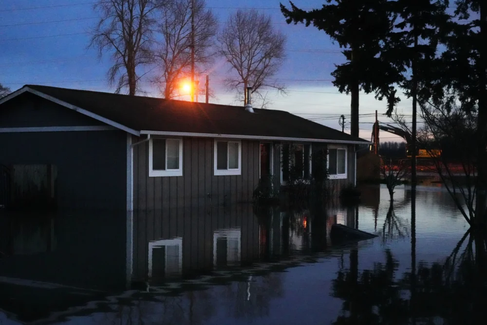
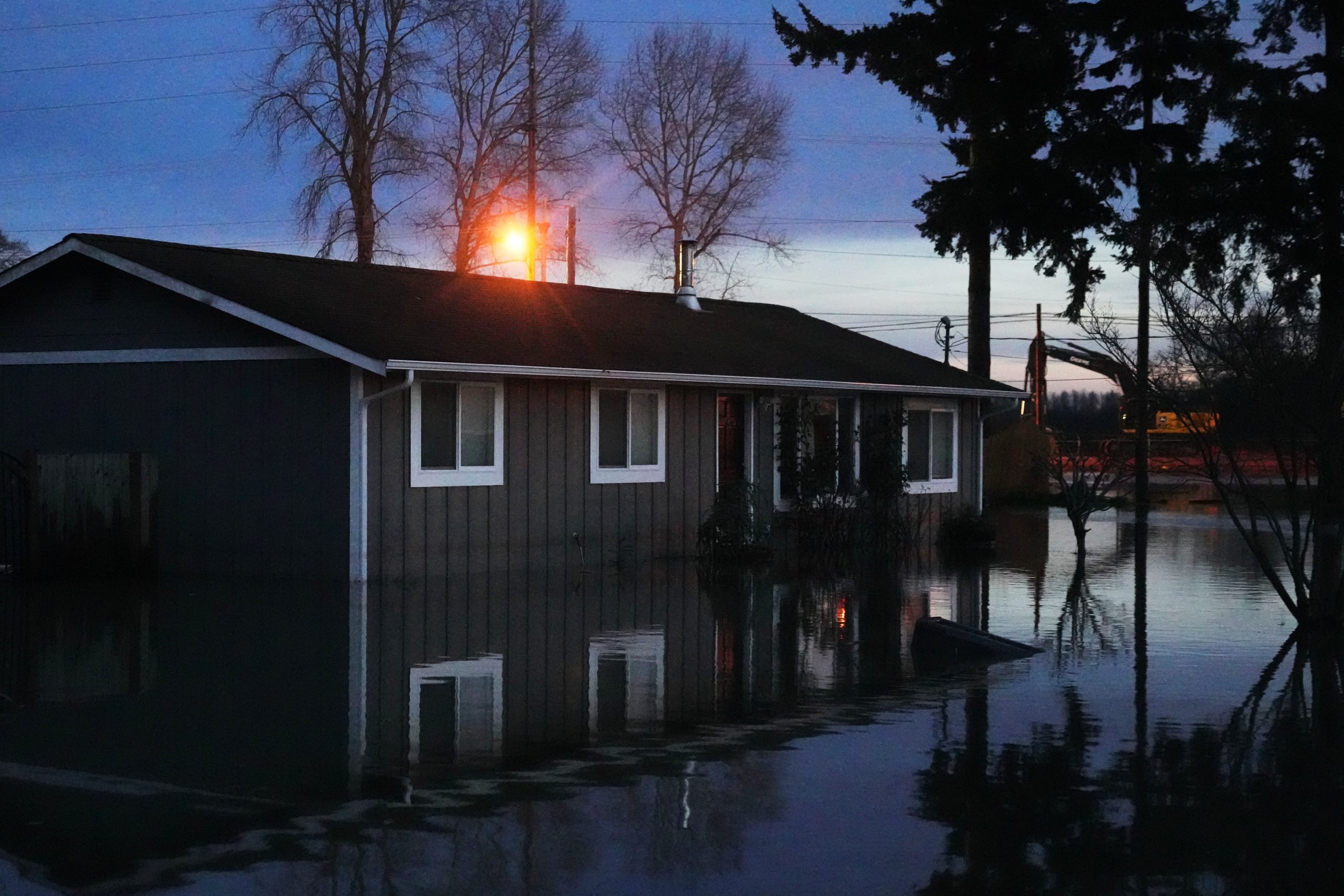
By the following morning, the sole access routes into and out of Sumas were submerged. The town and its surrounding areas were inundated by several feet of frigid, silt-laden river water, causing extensive damage to hundreds of homes and businesses and leaving a fine layer of mud on nearly every surface. Dozens of residents who had not evacuated were rescued from their rooftops by U.S. Coast Guard helicopters. As the waters began to recede on December 12th, the high-water mark was starkly visible, marked by the accumulation of trash, leaves, and debris clinging to chain-link fences and the muddy streaks left on the sides of homes and vehicles throughout the flooded zone.
Two consecutive atmospheric rivers unleashed their fury on Washington’s west coast in early December, with some locations experiencing up to 14 inches of rainfall within a 72-hour period at the storms’ peak intensity. Low-lying agricultural regions bore the brunt of the devastation, while the foothills of the Cascade Range and urban centers such as Seattle, Everett, and Bellingham experienced less severe impacts.
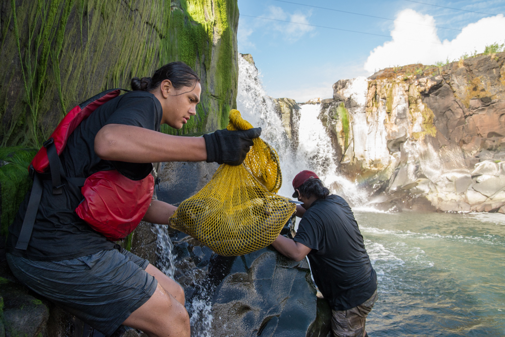
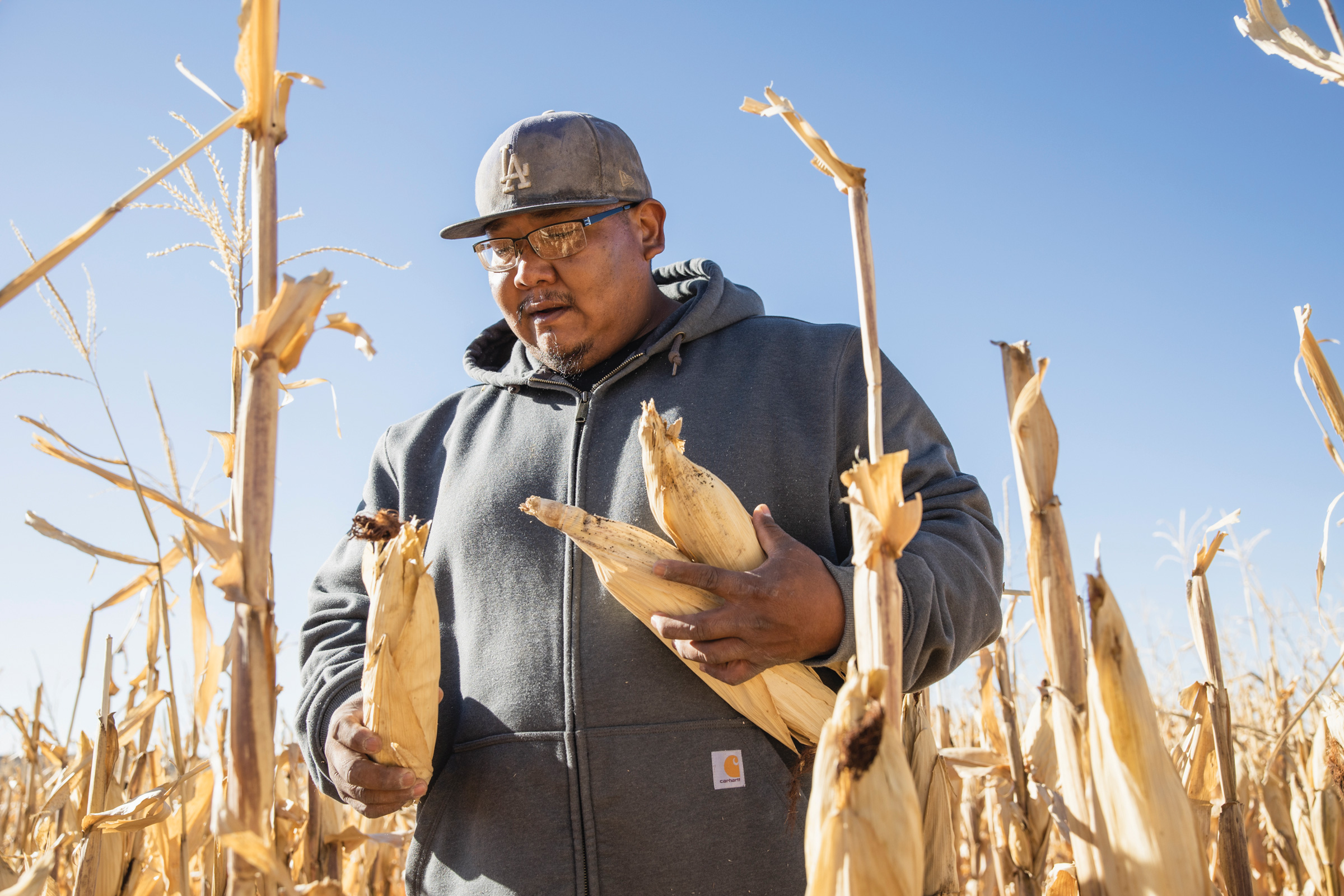
The arduous process of recovery has now begun. On December 12th, in the town of Nooksack, located just a short distance from Sumas, I joined a team of volunteers to assist homeowners with the daunting task of clearing waterlogged homes. Donning thick work gloves, high rubber boots, and waterproof jackets, we hauled waterlogged carpets and building materials to the curb for disposal. Other volunteers ventured into crawl spaces still submerged in standing water, diligently removing soaked insulation and muddied vapor barriers. Additional support came from the Whatcom Long Term Recovery Group, an organization formed in the wake of the similarly catastrophic flooding that struck north Whatcom County in 2021. Volunteers from this group were stationed at the Nooksack Valley Church, offering assistance in both English and Spanish with insurance claims and state aid, while also providing crucial emotional support to flood victims as they navigated the devastation and uncertainty of their future. As of December 19th, nearly 800 families in Whatcom County had sought assistance from the recovery group.
Atmospheric rivers, defined as narrow bands of concentrated water vapor originating over the warm waters of the Pacific Ocean, are a regular feature of West Coast weather, bringing significant precipitation. However, this recent series of storms was notably more expansive than usual, delivering rainfall as far south as central Oregon. Over 100,000 Washington residents were subjected to evacuation orders as coastal rivers draining the Cascade Range reached their peak flows on December 11th and 12th. In Skagit County, approximately 60 miles north of Seattle, the communities of Concrete and Hamilton were particularly hard-hit. Bridget Moran, a fisheries biologist working in Skagit County who was assisting residents with home cleanup, reported that in some Hamilton homes, the high-water mark exceeded six feet. Further downstream, the Skagit River surged to a record-breaking 37.7 feet, with its destructive potential held at bay from downtown Mount Vernon only by the presence of a floodwall.

Not all communities were as fortunate. In the nearby city of Burlington, 55 homes and sections of the downtown core were inundated on December 12th, forcing the evacuation of the town’s nearly 10,000 residents. In south King County, floodwaters breached an already compromised levee on the Lower Green River near the town of Pacific in the early morning hours of December 16th, triggering evacuation orders for 2,100 residents. Ultimately, the floodwaters affected approximately 220 homes and around 800 individuals. In Snohomish County, south of Skagit, a 33-year-old man lost his life after attempting to drive on a closed road and being swept away by floodwaters, marking the first and only confirmed fatality attributed to the flooding thus far.
Higher-altitude East Cascade communities, such as Naches, Leavenworth, and Methow, typically experience colder and drier conditions compared to areas west of the Cascades. However, the nature of the precipitation during these storms, with the majority arriving as rain rather than snow even at the highest elevations of the Cascades, led to catastrophic flooding, widespread power outages, and numerous landslides in these regions as well. In Stehekin, near the burn scar of the 2024 Pioneer Fire, residents and businesses suffered significant damage from landslides and post-fire debris flows in recently burned areas, where scorched soils and vegetation are inherently more susceptible to destabilization. Further south along the Cascade crest, Stevens Pass sustained such extensive damage that its closure is expected to last for months, while multiple landslides rendered eastbound Interstate 90, the primary route through the Cascades, impassable.
Washington was subsequently impacted by a third, albeit colder, atmospheric river during the week of December 15th. This additional precipitation fell on already saturated watersheds, leading to further flooding, though on a less severe scale. However, the accompanying high winds proved to be more destructive than the water itself, causing approximately 380,000 people across the state to lose power.

The USDA Northwest Climate Hub points to the escalating threat posed by increasingly hazardous atmospheric rivers, exacerbated by climate change. A warmer atmosphere has a greater capacity to hold moisture, and a warming Pacific Ocean provides an abundant source of this moisture, leading to an increase in both the duration and intensity of atmospheric river events. Guillaume Mauger, Washington State Climatologist, stated that when these factors converge, "we’d expect the storms to be more intense." According to Mauger, the danger of this particular series of atmospheric rivers stemmed not only from their individual strength but also from their rapid succession, which overwhelmed the region’s capacity to recover between events.
Mauger emphasized that researchers still require comprehensive data to fully understand the precise impact of climate change on this specific storm event. However, he noted that the unseasonably warm temperatures and the significant shift from snowfall to rainfall, even at higher elevations, were likely indicators of climate change’s influence. "Atmospheric rivers are warm in general," he explained, "but if this event had happened in 1950, the snowline wouldn’t have been quite so high. That’s the big effect: that it’s just less snow and more rain."
Communities across Washington are now transitioning into the recovery phase, with residents engaged in the laborious process of salvaging belongings and removing water-damaged materials from their homes, while simultaneously seeking financial assistance. Washington Governor Bob Ferguson has allocated $3.5 million in emergency funding to aid flood victims and has proposed a supplemental budget including $55 million designated for home repair and recovery efforts. President Donald Trump has approved Governor Ferguson’s request for federal disaster assistance, enabling FEMA (the Federal Emergency Management Agency) to provide support to communities and local governments, though this does not directly unlock federal funding for individual victims.

A report from the Urban Institute highlights several factors that are likely to complicate recovery in many of the affected areas. These include a high proportion of renters, a prevalence of manufactured homes, and a significant lack of flood insurance. The report indicates that only about a quarter of homes situated within the 100-year floodplain in Whatcom, Skagit, and Snohomish counties carry National Flood Insurance Program coverage, a federally administered policy designed to assist individuals in high-risk areas who might otherwise struggle to obtain insurance.
Shortly after the floodwaters receded on December 12th, I worked alongside another volunteer to carefully remove ornaments and lights from a family’s Christmas tree in Nooksack. The lower branches of the tree were coated in mud, and the floor around it was thick with silt. Elsewhere on the block, other volunteers worked quietly, carrying out waterlogged couches and children’s toys still dripping with river water. Later, standing in the driveway, I observed volunteers methodically clearing wet debris from every home on the street—a scene that would be replicated in thousands of residences across the state in the weeks and months ahead. The sheer scale of the devastation was overwhelming, yet there was little time for reflection; the immediate tasks of removing trim, ripping out flooring, completing paperwork, rebuilding lives, and eventually renewing communities demanded urgent attention.