Rocky Georgio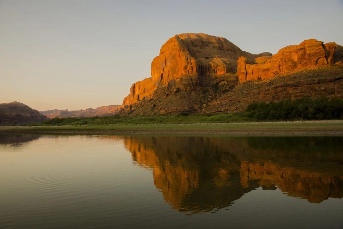
Aniston Hanks, a 20-year-old Diné citizen, stood knee-deep in the Colorado River, the cool water a tangible connection to her ancestral lands near Cameron, Arizona, and the sacred Little Colorado River. Beside her, her friend Shauna Belone, 21, also a Diné citizen, sat on the riverbank. Both were participating in The Nature Conservancy’s NATURE Program (Native American Tribes Upholding Restoration and Education), an immersive experience designed to deepen understanding of water, land, plant life, and conservation across the Colorado Plateau. For Hanks, the river’s flow evoked a profound sense of kinship, as she explained, "We think of it as a relative. We’re born for water," a sentiment that encapsulates the deep spiritual and cultural ties many Indigenous peoples hold for natural water sources.
Despite their shared heritage and proximity within the vast Diné homeland, Hanks and Belone inhabit different legal territories defined by the Colorado River’s basin boundaries. Hanks resides in the Lower Basin in Arizona, while Belone hails from Naschitti, New Mexico, in the Upper Basin. Their 27,000-square-mile homeland spans across both, highlighting the intricate geopolitical and geographical realities of water management in the American West. These basin divisions have taken on renewed significance as the federal government establishes new operating guidelines for the Colorado River’s two largest reservoirs, Lake Powell and Lake Mead, in response to an unprecedented 26-year megadrought.
The federal decision, released in two key phases, concluded with the Bureau of Reclamation completing its environmental review on July 31, followed by Interior Secretary Doug Burgum signing a record of decision and issuing the initial operating guidelines for the 2027 and 2028 water years on August 21. These new operational rules for both reservoirs officially commence on October 1. While this decision provides a framework for immediate management, it does not resolve the larger, long-standing dispute among the seven basin states – Arizona, California, Colorado, Nevada, New Mexico, Utah, and Wyoming – who have yet to reach a consensus on a permanent formula for sharing water during shortages. The Interior Department’s framework extends through 2036, allowing for periodic adjustments to reservoir operations based on evolving water levels, runoff predictions, and ongoing negotiations.
Celene Hawkins, Colorado River Program Director for The Nature Conservancy, described the Bureau of Reclamation’s environmental review as a crucial step in developing a ten-year planning analysis for future decisions. "They’ve essentially developed a 10-year framework for the basin," Hawkins stated, noting that operating plans will be updated every two years unless the basin states achieve a negotiated agreement. This adaptive approach is immediately being tested, as the Colorado River Basin faces critically low reservoir levels. After 26 years of drought, Lake Powell and Lake Mead together hold less water than at any point since Lake Powell began filling in 1963.
Under the new operating interval, Reclamation plans to adjust water releases from Glen Canyon Dam to maintain Lake Powell at or above 3,510 feet, an elevation deemed critical for the dam’s continued operational reliability. This adjustment necessitates significant water reductions from the Lower Basin states. Arizona, California, and Nevada are collectively required to reduce their water diversions by 1.25 million acre-feet over the next two years. The precise allocation of this reduction is contingent upon the three states finalizing their proposed sharing agreement, which would see Arizona reduce its allocation by 760,000 acre-feet, California by 440,000 acre-feet, and Nevada by 50,000 acre-feet. Furthermore, the Lower Basin plan encourages water users to voluntarily conserve and store an additional 700,000 acre-feet during this period. The Upper Basin, while not facing a comparable fixed reduction, is expected to negotiate coordinated operations at Flaming Gorge, Aspinall, and Navajo reservoirs with the Lower Basin states and tribes, should additional water be required to protect Glen Canyon Dam.
A less prominently discussed, yet significant, aspect of the decision involves a federally controlled water pool. This pool is designated for fulfilling federal delivery or firming promises outlined in congressionally approved Indian water-rights settlements, providing partial offsets for certain tribal shortages, or safeguarding federal infrastructure. The record of decision specifies that this tribal-firming provision applies to a select group of Lower Basin tribes whose settlements include federal firming obligations, such as the Gila River Indian Community. Notably, the Navajo Nation is not among this designated group. Hawkins emphasized that the implications of the post-2026 framework will vary significantly among tribal nations due to their diverse settlements, legal standings, and water supply arrangements across the basin.
Hawkins elaborated on the varied impacts, stating, "I don’t think there’s an easy or a single answer because I think different tribal nations in the basin are going to be affected differently." She highlighted that some Arizona tribes depend on Central Arizona Project supplies, while others draw from the Colorado River’s main stem, and that tribal water settlements and legal positions differ considerably throughout the basin. This distinction is central to understanding the framework’s effects, as some tribes hold senior, quantified water rights directly from the Colorado River, while others rely on settlement water delivered through federal infrastructure, and yet others possess unquantified rights or legally recognized water that they cannot fully utilize due to a lack of necessary infrastructure. The Interior Department’s record of decision establishes initial operating rules but does not fully resolve the complex legal, infrastructural, and water-access challenges that tribal officials raised during the federal environmental review process.

A River Divided on Paper, Unified by Need
For Crystal Tulley-Cordova, principal hydrologist with the Navajo Nation Department of Water Resources and a Diné citizen, the core issue is a stark imbalance: "There is an imbalance between paper water versus wet water." She observes the tangible consequences of this imbalance across the Navajo Nation, noting declining snowpack, reduced snowmelt runoff affecting local creeks, and shifts in plant growth patterns. Changes in monsoon rainfall, characterized by fewer routine summer showers and more intense, flood-inducing downpours, further underscore the environmental shifts. "Ultimately, Mother Nature is in charge here," remarked Bidtah Becker, chief legal counsel for the Navajo Nation Office of the President and Vice President and a member of the Navajo Nation Water Rights Commission. The commission is actively engaged in resolving the Navajo Nation’s water-rights claims, including the proposed Northeastern Arizona Indian Water Rights Settlement Act of 2025 for communities in the Lower Basin.
Despite nature’s power, human constructs have shaped the division of water resources for over a century. The 1922 Colorado River Compact, which divided the river into Upper and Lower Basins, forms a cornerstone of the complex legal framework known as the Law of the River. Crucially, tribal nations were not sovereignly consulted during the creation of this compact. "The Indians were not at the table 100 years ago," stated Peter Ortego, president of Acadian Desert Consulting and a former general counsel for the Ute Mountain Ute Tribe. "They weren’t invited." The Navajo Nation’s situation exemplifies the enduring complexities of these century-old boundaries under the new post-2026 rules.
Under the proposed Northeastern Arizona Indian Water Rights Settlement, the Navajo Nation would be allocated approximately 47,000 acre-feet of Upper Basin Colorado River water for its Arizona communities. However, some communities in need of this water are located south of the legal boundary separating the basins, creating a logistical and legal challenge. "We didn’t draw those lines," Becker added, emphasizing the imposed nature of the system. "We didn’t impose the system on ourselves." This distinction is further complicated by the fact that not all tribal water rights have been legally quantified. The post-2026 rules do not directly alter the Navajo Nation’s water rights under the proposed settlement, as the Nation’s Colorado River settlement in Arizona awaits full congressional approval. Until then, the 47,000 acre-feet remains a projection rather than actual, usable water, according to Becker.

Tulley-Cordova explained that quantified and decreed rights allow a specific volume of tribal water to be accounted for within a state’s Colorado River allocation. Unquantified rights, she noted, are "not really included into the management framework." The post-2026 framework does not, in itself, resolve these claims, nor does it definitively determine the future of ongoing projects such as the Navajo-Gallup Water Supply Project. This federally funded project, largely supported by Reclamation, aims to provide a long-term water supply to over 250,000 people in New Mexico using San Juan River water secured through the Navajo Nation San Juan River Basin Water Rights Settlement. Tulley-Cordova clarified that the framework’s focus is primarily on the operational dynamics of the reservoir system, including water storage and release strategies.
Different Rights, Shared River Challenges
The experience of tribal nations on the Colorado River is far from uniform. "We are not a monolith," Becker stated, underscoring that the impacts of Colorado River management decisions vary widely among tribes, depending on whether their water rights are quantified and how they utilize their water resources. For the Ute Mountain Ute Tribe, the current situation highlights the critical difference between holding a water right and possessing the necessary infrastructure to fully exercise that right. The tribe has successfully settled its water rights in Colorado. Ortego pointed to water stored in Lake Nighthorse near Durango, Colorado, which must flow through New Mexico before reaching only a small portion of the reservation. Approximately 16,000 acre-feet of water, which the tribe is currently unable to use, bypasses the reservation annually.
This presents a complex dilemma during times of scarcity: developing the water would allow the tribe to assert its rights, while leaving it in the system could potentially benefit an already stressed Colorado River. Ortego argued that the tribe should either receive the infrastructure needed to utilize its water or be compensated for deferring its development. "None of us is in the exact same situation," Ortego remarked regarding the tribes in the Upper Basin.

The Colorado River Indian Tribes (CRIT), a federally recognized tribe whose reservation spans the Colorado River in Arizona and California, operates under a different legal standing. Their rights are governed by a 1963 U.S. Supreme Court decree in Arizona v. California. CRIT Chairwoman Amelia Flores described these rights as the most senior tribal water rights in the Lower Basin, dating back to 1865. CRIT had previously voiced opposition to language in earlier federal proposals that tribal leaders believed could have imposed inequitable reductions on its allocation. In a statement released on August 21, CRIT announced that Reclamation had affirmed its commitment to adhering to the court decree and would not impose such reductions. "The efforts of CRIT have made a difference," Flores stated in the release. "The numerous meetings and discussions between CRIT’s Tribal Council and the Bureau of Reclamation have clearly had an impact."
The record of decision also mandates the formal inclusion of tribal nations, including CRIT, in a basin-wide consultation structure. CRIT leaders welcomed this commitment but emphasized their continued engagement as Reclamation develops subsequent two-year operating guidelines, particularly if deteriorating reservoir conditions lead to further reductions in water supplies for central Arizona. "Given the critical status of the river, tribal consultation is mandatory in every discussion and decision regarding the Colorado River," CRIT Councilmember Raeanne Patch stated in the release.
Celene Hawkins of The Nature Conservancy noted that tribal nations are contributing innovative solutions to discussions about the Colorado River’s future, yet they "don’t have the same level of access to decision-making tables as their state and federal counterparts." Peter Ortego believes that increased tribal participation in the post-2026 framework could significantly bolster tribal sovereignty and grant tribes greater influence over future operational decisions. "When the tribes have the power and the ability to put their perspective on the table, and other people actually listen to it and actually respond to it in a positive way," he said, "that’s the best way tribes can exercise their sovereignty."
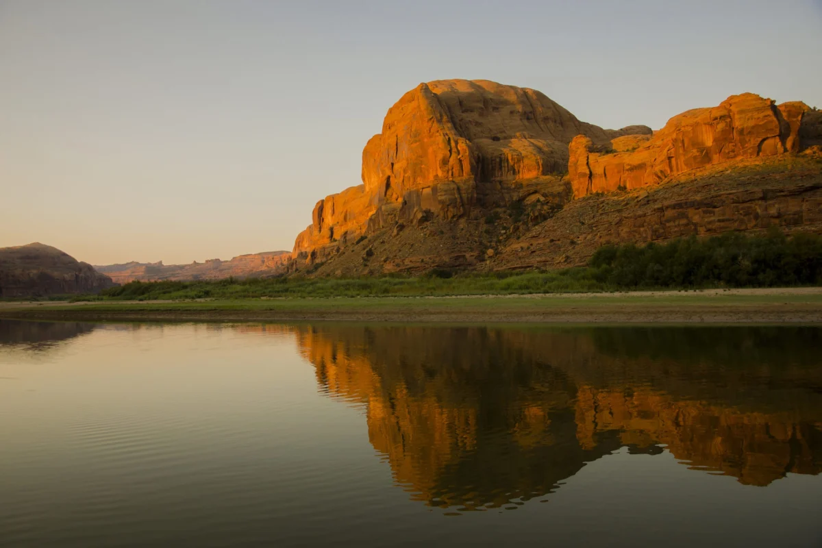
Returning to the Colorado River near Moab, far upstream from Lee Ferry, Arizona, the legal dividing point between the Upper and Lower Basins, the artificial boundaries seemed to dissolve. For Aniston Hanks, the question of how humanity coexists with a river carrying less water returned to a fundamental principle. Standing knee-deep in the river, a vital resource for over 40 million people, she reflected, "There has to be a balance. You walk with beauty, with nature, not against it."