Rocky Georgio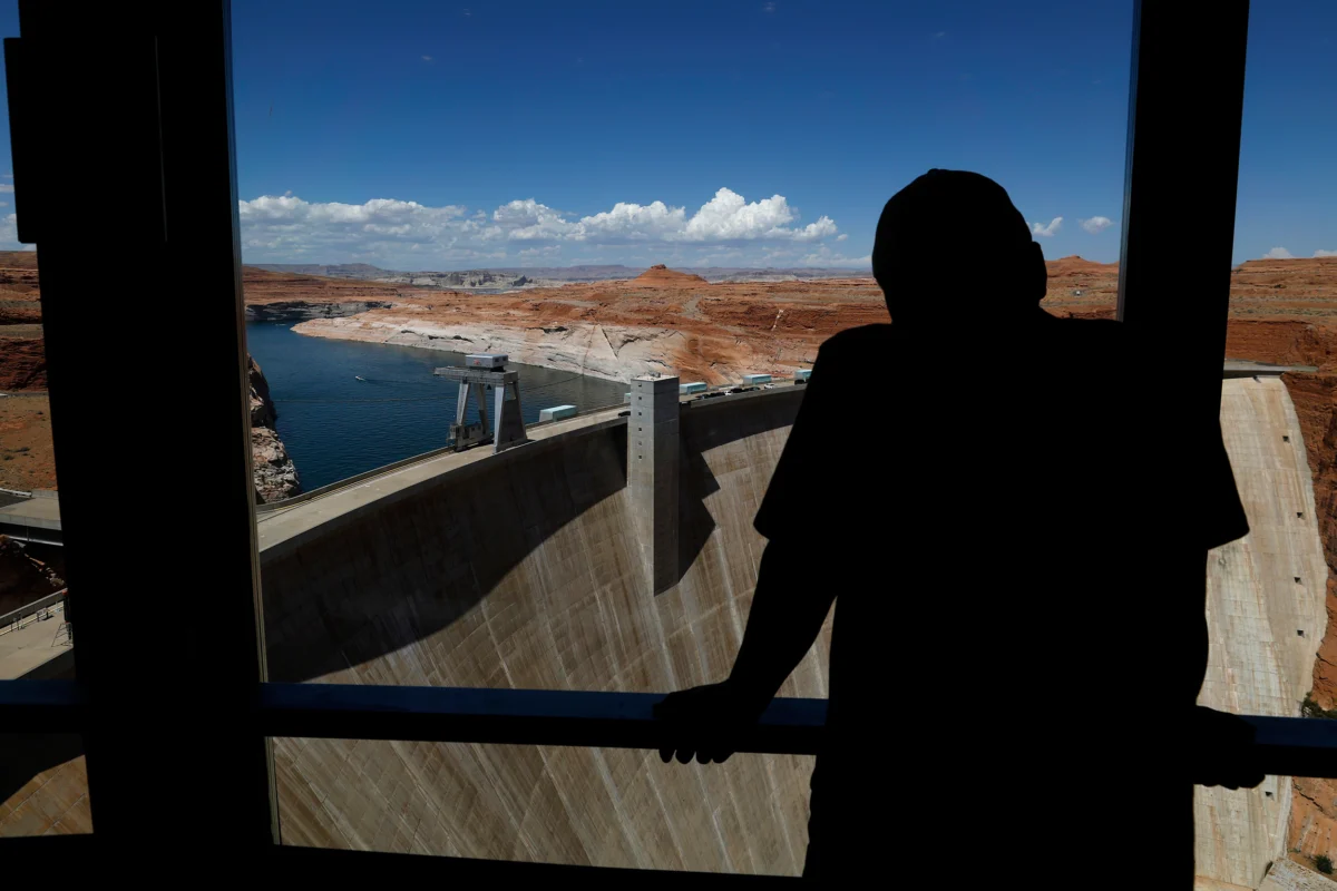
The American Southwest is confronting the stark reality of potential mandatory water use reductions for both cities and agricultural operations along the Colorado River, following the release of a new federal management plan for the coming decade. This comprehensive document, published by the U.S. Bureau of Reclamation, introduces a flexible 10-year operational framework designed to adapt to the river’s fluctuating flow rates, with provisions for adjustments every two years. The agency has proposed significant cuts to water allotments originally allocated to Arizona, California, and Nevada, the states that comprise the river’s Lower Basin. In contrast, Colorado, New Mexico, Utah, and Wyoming, forming the Upper Basin, may be asked to implement voluntary conservation measures.
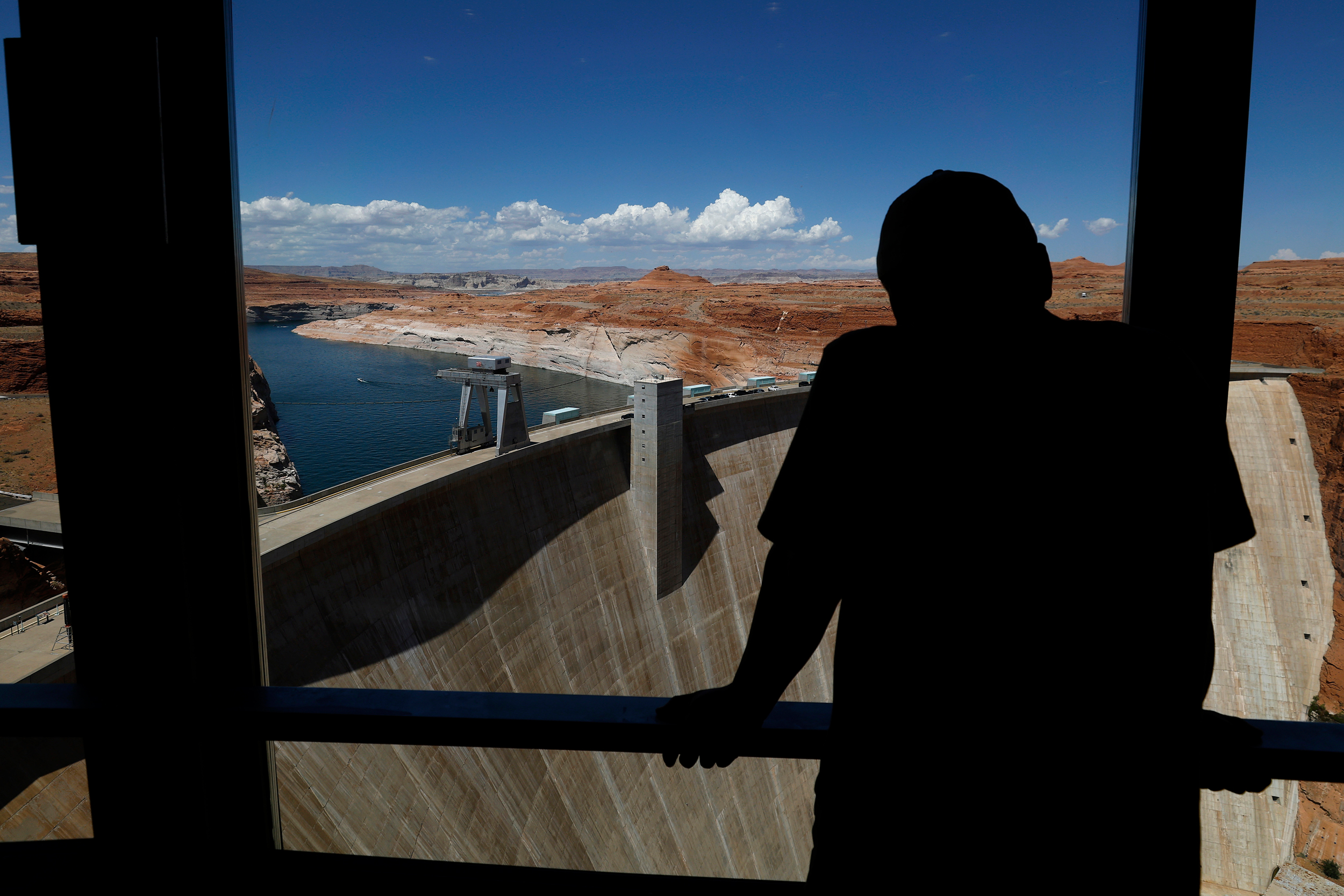
This development comes as the existing interim guidelines and drought contingency plans, established in 2007 and 2019 respectively, are slated to expire in 2027. Negotiations for a successor agreement, initially due this year, have encountered significant roadblocks, with the basin states repeatedly missing consensus deadlines. The Bureau of Reclamation, as the operator of critical infrastructure such as the Hoover and Glen Canyon Dams, which feed the vital Lake Mead and Lake Powell reservoirs, holds substantial influence over the river’s management. The final environmental impact statement released by Reclamation on Friday will pave the way for a federal record of decision that will govern the river’s operations for the next two years.
Andrea Travnicek, the Interior Department’s assistant secretary for water and science, emphasized the plan’s aim to strike a balance between adaptability and certainty for the Colorado River system, which is indispensable to the 40 million people who depend on it. She noted the unprecedented hydrological conditions and the potential for considerable impacts on water users, highlighting the plan’s capacity to respond to evolving circumstances and potential consensus. The Bureau is considering releases from Lake Powell, a reservoir straddling the Utah-Arizona border that marks the division between the upper and lower basins, ranging from 5 million to 12 million acre-feet for downstream states. For context, one acre-foot of water can sustain approximately two to four households for an entire year.
Under the proposed scenario, the Lower Basin, which also includes allocations for Mexico, could face substantial reductions in their water rights. Specifically, the plan suggests potential losses of 1.5 million acre-feet in both 2027 and 2028. This would translate to Arizona potentially losing 760,000 acre-feet of its river allocation, California 440,000 acre-feet, and Nevada 50,000 acre-feet, following a proposal submitted by the Lower Basin states themselves. Beyond 2028, these cuts for the Lower Basin could escalate to as much as 3 million acre-feet annually.
The Arizona Department of Water Resources has strongly criticized these figures, deeming them "unacceptable" and warning that such reductions would have a devastating impact on Arizona’s water users and its economy. Meanwhile, Reclamation appears to be seeking voluntary reductions from the Upper Basin, targeting up to 200,000 acre-feet, and has discussed the possibility of transferring water from federally managed dams within the basin downstream, contingent on hydrological conditions.
JB Hamby, California’s Colorado River Commissioner, underscored the fundamental challenge facing the system, stating that the Colorado River no longer reliably supplies sufficient water to meet all existing uses and expectations. He stressed that this is a shared challenge across the entire Basin, necessitating specific and measurable reductions in water consumption by every state. Officials from the Colorado Department of Natural Resources have indicated they are currently analyzing the document. The governors of the Upper Basin states expressed encouragement that the new operational guidelines will more accurately reflect the current water supply, which they believe must form the foundation of any viable future plan.
The Colorado River is widely recognized as one of the most climate-stressed waterways in the United States. It is a critical source of water for an estimated 35 to 40 million people spanning seven Western states, 30 Native American tribes, and two Mexican states. The river’s journey through the Southwest, a region characterized by some of the nation’s most arid and drought-prone landscapes, underscores its vital importance. Furthermore, millions of Western residents rely on the electricity generated by the Hoover and Glen Canyon Dams.
The foundational 1922 Colorado River Compact between the river’s users was based on an assumption of approximately 17.5 million acre-feet of available water for the two basins and Mexico. However, historical records reveal that the natural flow of the river has averaged closer to 14.7 million acre-feet. Provisional data from Reclamation indicates a precipitous decline, with the average flow plummeting to just 11.2 million acre-feet between 2020 and 2024. During this same period, the agency calculated that average usage and evaporative losses across the basin exceeded 13 million acre-feet, highlighting a significant deficit.
John Berggren, regional policy manager at Western Resource Advocates, believes the operational ranges proposed by Reclamation are necessary steps toward rectifying the imbalance between supply and demand. However, he cautioned that these are merely proposed ranges, and the actual water management decisions made over the coming years will be crucial in determining whether the system can be brought back into balance. Berggren expressed hope that the short-term certainty provided by this federal plan will help to re-energize stalled negotiations among the states. He urged basin commissioners to move beyond the unproductive approaches of the past few years and to embrace new strategies in pursuit of a seven-state agreement.
Reclamation’s final environmental impact statement was initially intended to formalize a management plan agreed upon by the basin states. Despite the missed negotiation deadlines, Reclamation has kept the door open for a state-led agreement, which is widely considered the most sustainable path toward a durable long-term operating framework for the river. Negotiations have stalled primarily over the contentious issue of whether water use cuts should be mandatory across the entire basin. Decades of over-allocation have led to the Lower Basin currently using less water than its apportioned share, according to federal accounting. Consequently, the Lower Basin advocates for future cuts to be shared equitably among all seven states. The Upper Basin states, which have historically used less than their allocated water rights, have strongly resisted demands for mandatory cuts, proposing voluntary conservation measures instead. They argue that variable environmental conditions, such as the current year’s record-low snowpack, naturally constrain their water usage.
The absence of a comprehensive seven-state agreement, even with federal management options emerging, significantly increases the likelihood of litigation among states dependent on the Colorado River, with such disputes potentially being adjudicated by the Supreme Court. Despite these challenges, Celene Hawkins, Colorado River program director at The Nature Conservancy, views the proposal to manage the river in an adaptive manner, responsive to hydrological conditions, as a critical step toward long-term sustainability in a basin facing diminishing water resources. Hawkins expressed optimism that this federal action will catalyze the formation of a seven-state agreement, ultimately enabling more effective conservation efforts for both communities and the river itself.