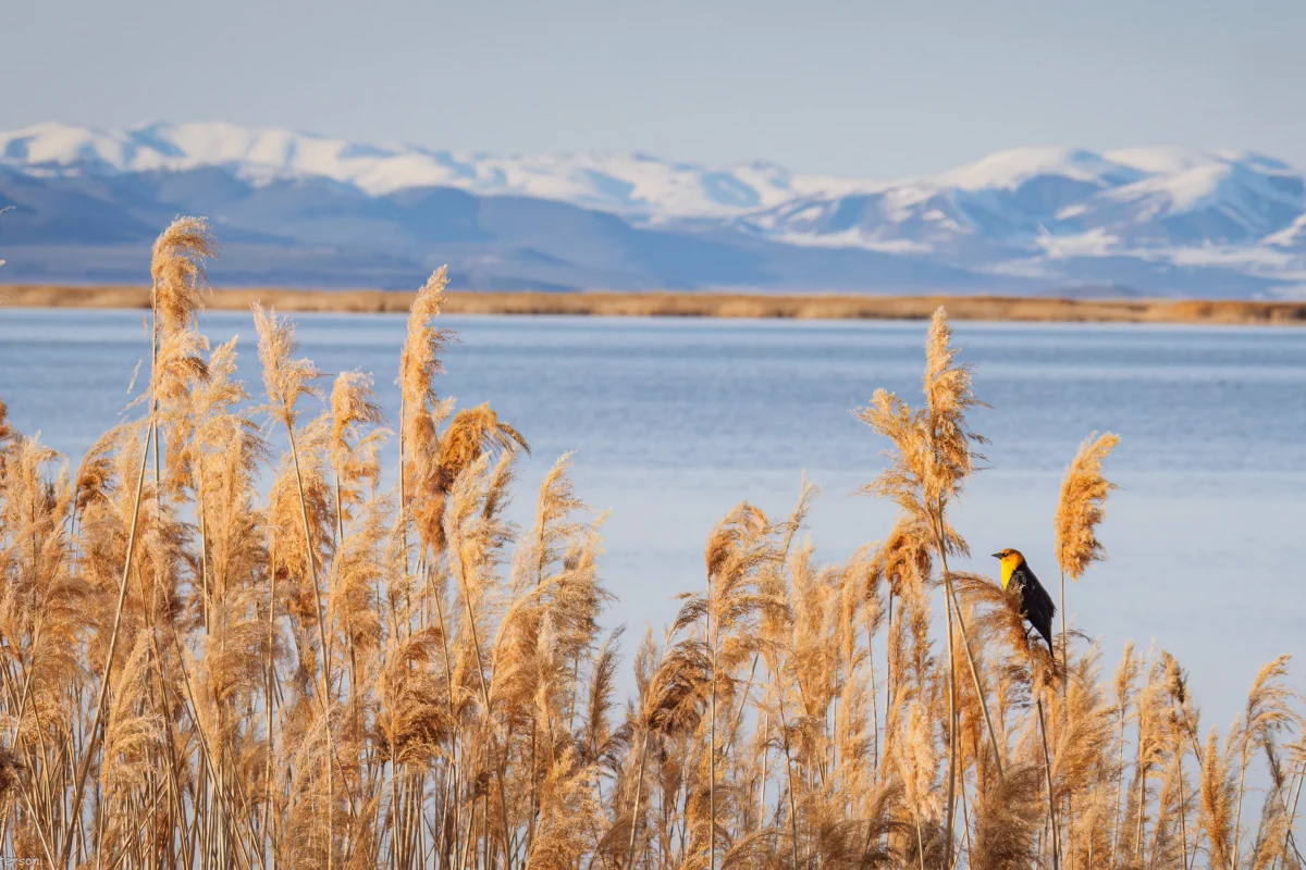

The escalating crisis on the Colorado River, a vital artery for 40 million people across seven U.S. states and Mexico, is forcing a fundamental re-evaluation of water management principles that have governed the arid West for a century. For generations, a prevailing sentiment in the upper reaches of the Colorado River Basin, including my own upbringing in southwestern Colorado, was that any water not immediately utilized would simply flow downstream, a perceived loss to the more populous and prosperous Lower Basin states, particularly California. This notion, rooted in both regional animosity and the complex, often adversarial, framework of Western water law, has intensified as the river and its crucial reservoirs, Lake Powell and Lake Mead, plummet to historically low levels, leaving the seven basin states locked in protracted and increasingly desperate negotiations over how to equitably share dwindling supplies. The central question now is no longer about abstract entitlement, but about the stark reality of how much water can realistically, or even legally, be permitted to flow downstream to Arizona, California, and Nevada.
The foundation of this crisis lies in the intricate and often antiquated system of Western water law, primarily the doctrine of prior appropriation, commonly known as "first in time, first in right." This doctrine grants senior water rights holders, those who first put water to "beneficial use," the legal prerogative to their allocated share, even if it means junior users, often located upstream, must cease their diversions during times of scarcity. By the early 20th century, a rapidly expanding California was already asserting significant claims on the Colorado River, with vast agricultural districts securing senior water rights. This left less populated states like Colorado, Wyoming, and Utah watching with growing concern as downstream entities gained control over an ever-larger portion of what they considered "their" river.

To mitigate this growing tension and secure the support of the headwaters states for ambitious federal water projects on the lower river, the seven Colorado River Basin states convened to forge the Colorado River Compact in 1922. This landmark agreement divided the basin into two distinct regions: the Upper Basin, comprising Colorado, Wyoming, Utah, and New Mexico, and the Lower Basin, encompassing Arizona, California, and Nevada. The dividing line was established at Lees Ferry, Arizona. The compact aimed for an equitable division of the river’s water, stipulating that each basin would have exclusive rights to 7.5 million acre-feet (MAF) of water annually. This allocation, however, was based on an optimistic, and ultimately flawed, assessment of the river’s historical flow, failing to account for the significant fluctuations inherent in its hydrology and the projected impacts of a changing climate.
Crucially, the 30 tribal nations located within the Colorado River watershed, who represent the river’s most senior water users, were deliberately excluded from the 1922 compact negotiations. This exclusion, a profound affront to tribal sovereignty, has sown the seeds for enduring conflict and remains a significant unresolved issue in current water discussions. The water rights of these tribal nations are legally recognized and are incorporated within the respective allocations of the basins and states in which they reside. Current negotiations primarily focus on how the necessary reductions in water consumption will be distributed between the Upper and Lower Basins. However, the ultimate impact on individual users, including tribal communities, will be determined within each basin through subsequent negotiations, likely adhering to the prior appropriation doctrine. Tribes with pre-compact, "present perfected rights," particularly in the Lower Basin, are generally considered immune from mandatory cuts under the existing legal framework.
While the Colorado River Compact provided a framework for water allocation, its provisions have been strained by decades of increasing demand and, more recently, by the undeniable realities of climate change. For years, the Upper Basin states utilized significantly less than their allocated 7.5 MAF, often consuming around 4 MAF, while the Lower Basin consistently exceeded its share, with consumptive use sometimes reaching as high as 11 MAF annually. This imbalance was manageable as long as the river’s flow was robust. However, over the past 26 years, the Colorado River has experienced a persistent and deepening drought, exacerbated by rising global temperatures.

The critical headwaters, where the river originates, have seen a drastic reduction in snowpack, the primary source of the river’s annual replenishment. Since the turn of the century, the average annual "natural flow" at Lees Ferry—the theoretical amount of water the river would carry without human intervention—has hovered around 12 MAF. In stark contrast, 2002 saw this figure plummet to just over 6 MAF, a flow insufficient to meet even the Lower Basin’s consumption at the time. This dramatic decline in available water renders the compact’s allocations increasingly untenable.
The compact includes a "non-depletion clause," which mandates that the Upper Basin "will not cause the flow of the river at Lee Ferry to be depleted below an aggregate of 75,000,000 acre feet for any period of ten consecutive years." While interpretations vary, this clause effectively obligates the Upper Basin states to allow a certain volume of water to pass Lees Ferry, even if it means they must forgo using their full entitlement or face shortages themselves. This provision has become a significant point of contention, as Upper Basin states argue they are being penalized for a hydrological reality beyond their control.
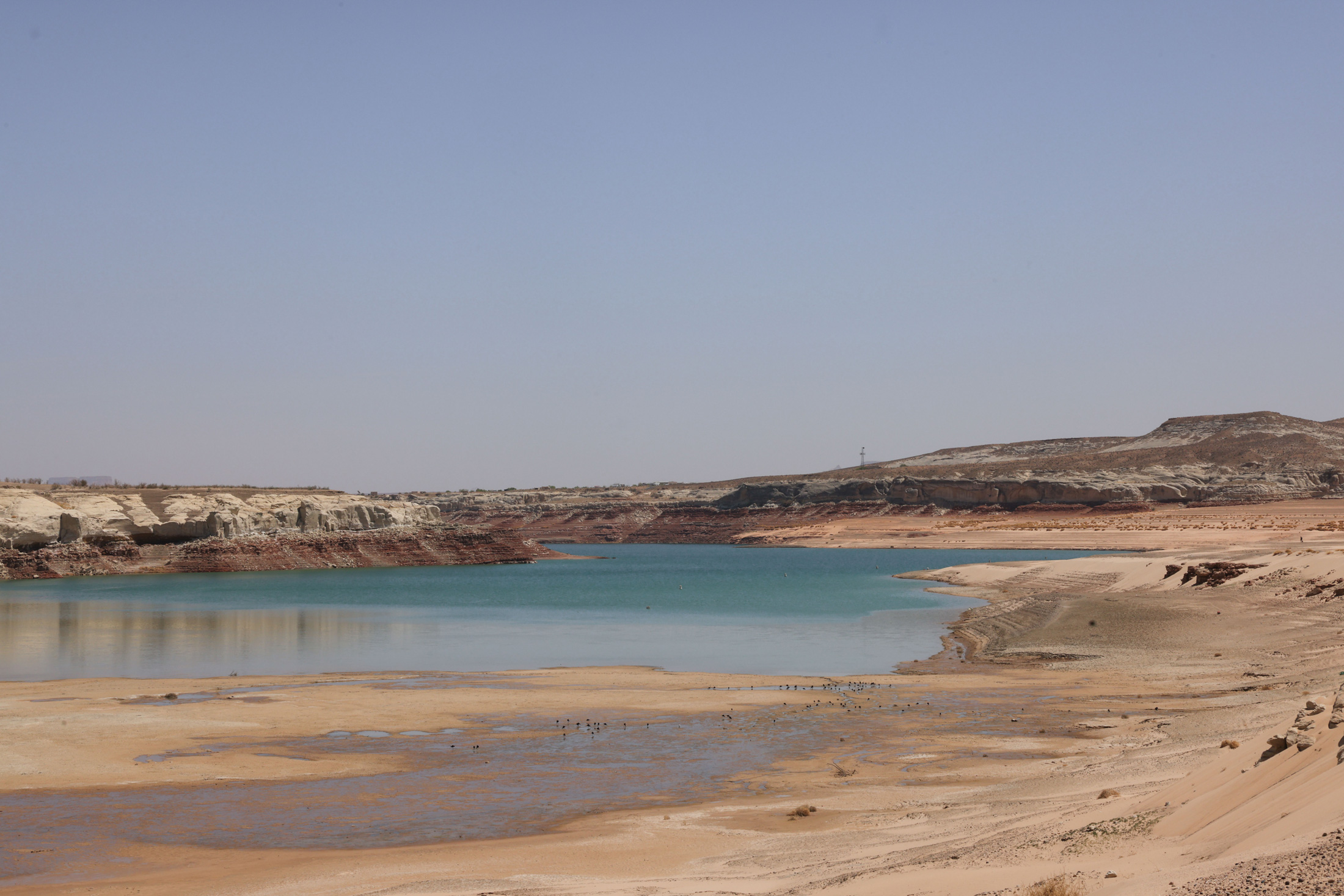
The construction of Glen Canyon Dam and the creation of Lake Powell were intended to serve as a crucial water storage reservoir for the Upper Basin, providing a buffer during dry periods. However, in recent decades, withdrawals from Lake Powell have consistently outpaced inflows, leaving the reservoir at approximately one-third of its full capacity. Alarmingly, the lake’s surface elevation is nearing the "minimum power pool," the critical threshold at which water can no longer flow through the dam’s hydroelectric turbines. Federal forecasts suggest this critical point could be reached as early as the fall of the current year.

The consequences of reaching minimum power pool are dire. Not only will the dam cease to generate hydroelectric power for millions of residents across the Southwest, but all water releases will be forced through lower-level outlets not designed for sustained, high-volume use. This prolonged stress could compromise the structural integrity of these outlets and potentially the dam itself, a scenario that Bureau of Reclamation engineers have strongly warned against. Reaching minimum power pool essentially signifies a "dead pool," a point of no return for hydropower generation and a significant threat to the dam’s functionality.
If current climatic trends persist, avoiding this critical threshold necessitates either a substantial increase in water flowing into Lake Powell, achieved by curtailing Upper Basin water use and draining upstream reservoirs like Flaming Gorge, Blue Mesa, and Navajo, or a significant reduction in releases from Glen Canyon Dam. The latter would impose severe cuts on the Lower Basin, impacting communities and ecosystems, including the delicate environment of the Grand Canyon and its endangered native fish populations.
The path forward hinges on the states’ ability to reach a consensus on how to balance demand with the river’s diminishing supply. In 2022, the Department of the Interior mandated that the seven states develop a plan to reduce overall consumptive use by 2 to 4 million acre-feet annually. Despite this directive, progress has been agonizingly slow, with states struggling to find common ground.

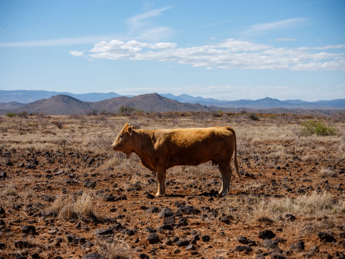
The Lower Basin states, having already stretched their allocations and facing the immediate consequences of reduced flows, have accepted some cuts and agreed to further reductions, contingent on the Upper Basin committing to similar mandatory and verifiable reductions. A key demand from the Lower Basin is the retention of some form of the non-depletion provision. Conversely, Upper Basin negotiators argue that they have not yet utilized their full water entitlements and consume far less water overall than the Lower Basin. They question the fairness of being forced into deeper cuts, especially when many Upper Basin water users, particularly those with junior rights, already face drastic curtailments during dry years due to the lack of extensive storage infrastructure. In 2021, for instance, numerous farms in southwestern Colorado saw their water access cut off as early as June, forcing them to abandon their crops, while the Ute Mountain Ute Tribe received only about 10% of its allocated water.
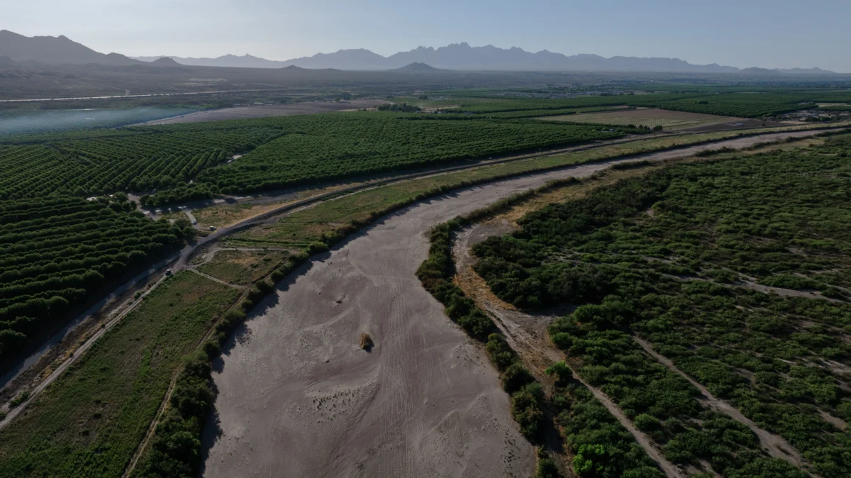
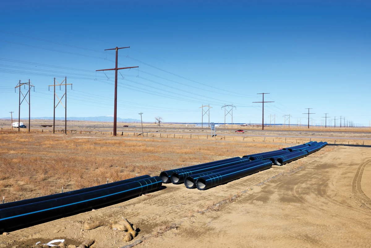
Logistically, implementing significant water cuts is also simpler in the Lower Basin. Large-scale diversions, such as the Central Arizona Project canal serving Phoenix and Tucson, the All-American Canal supporting the Imperial Irrigation District’s vast agricultural operations—the single largest water consumer on the river—and the Colorado River Aqueduct supplying Los Angeles and other Southern California cities, are managed by a few major entities. In contrast, the Upper Basin draws water from the river and its tributaries through hundreds, if not thousands, of smaller diversions, making the process of achieving meaningful reductions far more complex and legally challenging, potentially requiring the shutdown of numerous small-scale irrigation operations.
In response, Upper Basin negotiators have proposed a "supply-driven" plan. This approach would link releases from Lake Powell directly to the river’s and reservoir’s current water levels, aiming to honor the spirit, if not the exact figures, of the original compact. While Lower Basin states have shown some interest, a fundamental agreement on crucial details, such as the percentage of flows to be released and whether a non-depletion minimum remains in place, has yet to be reached.

Ultimately, the unforgiving realities of the basin’s climate and hydrology may render any negotiated agreement moot. As Lake Powell continues its descent towards minimum power pool, federal officials will likely be compelled to drain upstream reservoirs to temporarily prop up its levels. However, once the dam reaches its critical limit, operators will face an agonizing choice: release water through the dam’s lower outlets, risking structural damage, or transition to a "run-of-the-river" operation. This latter scenario would equalize releases with inflows, minus evaporation and seepage, causing Lake Mead’s levels to plummet further. Such a drastic reduction in outflow from Glen Canyon Dam would force the Lower Basin into potentially catastrophic water cuts, with the Central Arizona Project, a junior rights holder, almost certainly facing significant reductions, imperiling cities and farms that depend on its water.
Should these diminished releases persist for an extended period, the Upper Basin could find itself in violation of the non-depletion clause, potentially triggering litigation from downstream users and hurling the entire watershed back into the volatile and adversarial era preceding the 1922 compact. The author reflects on a past disconnect, questioning the ingrained apprehension about water flowing downstream to California, viewing it not as a sin but as a mechanism for extending the river’s life and benefiting its associated ecosystems. The fundamental flaw of the Colorado River Compact, it is suggested, was not merely an overestimation of water availability but its inherent design to pit states, tribes, and users against one another, rather than fostering a collaborative framework for the entire watershed’s benefit. The possibility of abandoning the compact entirely, along with the prior appropriation doctrine on the Colorado River, and starting anew from a foundation of current realities, is presented as a radical but potentially necessary solution. As the climate continues its inexorable warming and drying trend, the dwindling water resources will offer less and less to contest, rendering the century-old compact increasingly irrelevant as its foundational assumptions evaporate.