Rocky Gerung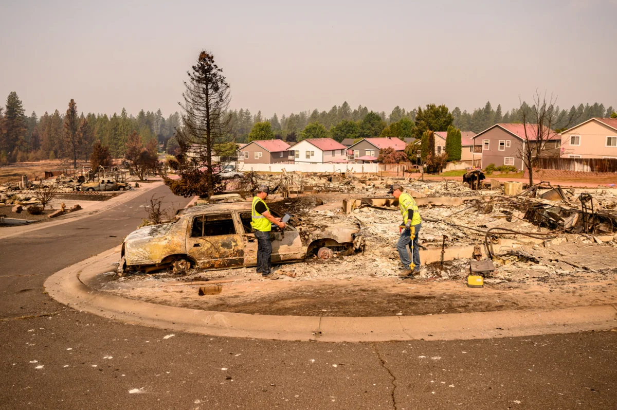
An ember, seemingly insignificant, ignited a catastrophic chain of events, leading to the Old Trails Fire that rapidly crossed the Spokane River from Riverside State Park into the Indian Trail neighborhood, triggering widespread evacuations on Saturday afternoon in Spokane, Washington. While the fire’s origin is reportedly linked to an arsonist apprehended on Monday, its swift progression into the northwest corner of Spokane resulted in the destruction of numerous homes. As of Monday afternoon, reports indicated that between 700 and 1,100 structures had been lost across three ongoing fires, including the Old Trails fire, the Autumn Lane Fire in the Suncrest area, and the Fairview Fire in Mead. By Tuesday, the combined perimeters of these fires exceeded 10,000 acres, according to data shared via the Watch Duty app. Spokane Mayor Lisa Brown characterized the infernos as "the worst natural disaster the region has faced."
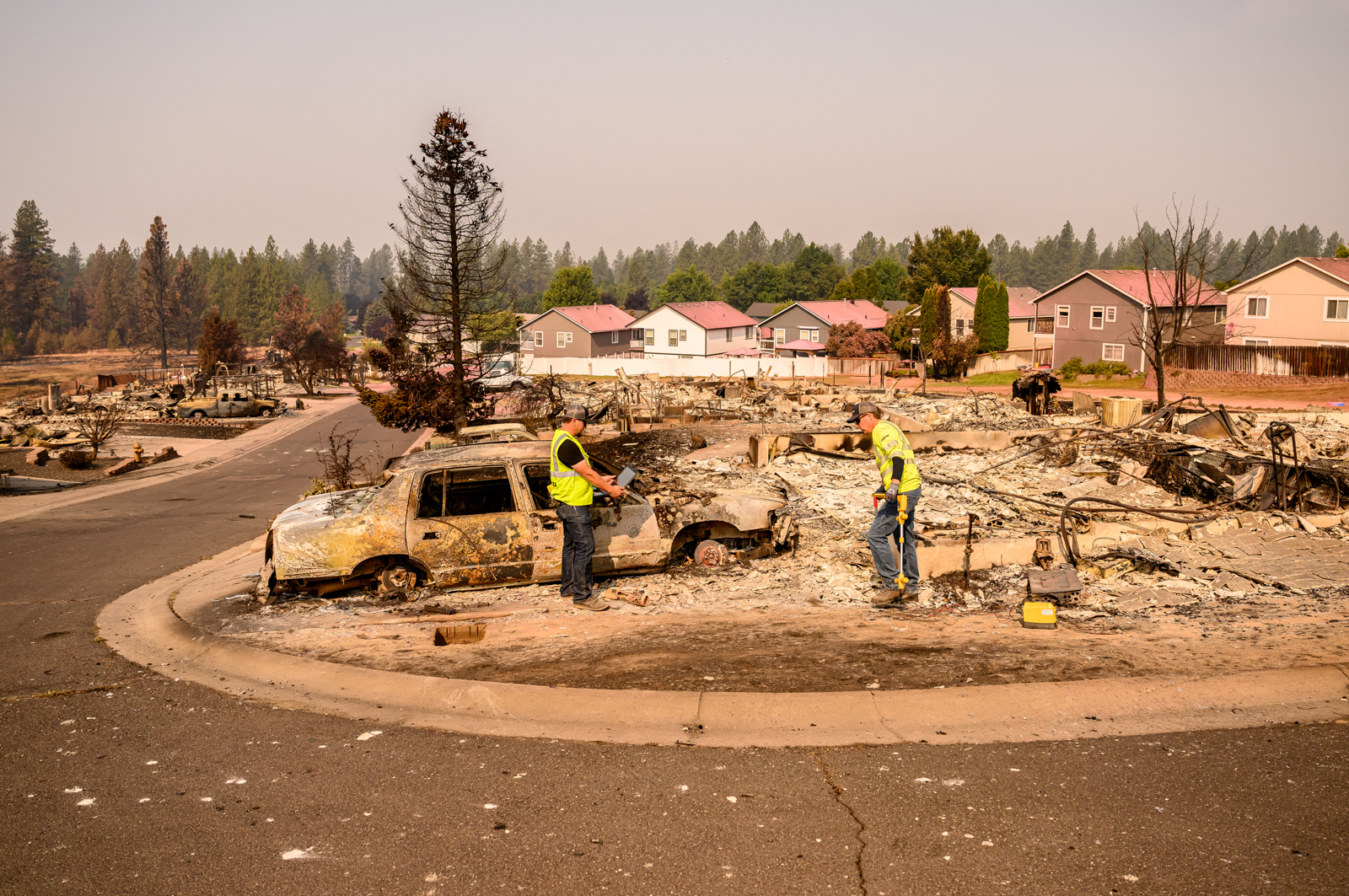
These devastating fires are occurring within what fire experts term the "wildland-urban interface" (WUI), a zone defined by its high fire risk where human dwellings intermingle with abundant flammable vegetation such as trees, grasses, and brush. FEMA further clarifies this as the transitional area between undeveloped land and developed human settlements. While the WUI often brings to mind remote mountain towns or isolated rural homes, the Old Trails fire has dramatically underscored that this risk extends into the heart of suburban landscapes. Similar urban-wildfire conflagrations have become increasingly common in recent years, including the Eaton and Palisades fires in the Los Angeles area in January 2025, and the 2021 Marshall fire, which stands as Colorado’s most costly wildfire to date. These incidents, often sparked on the peripheries of suburban areas and propelled into communities by powerful winds, serve as stark reminders of how rapidly neighborhoods can succumb to flames under favorable conditions.
The Indian Trail neighborhood, a suburban community largely developed between the 1980s and 2010s, exemplifies a broader trend of development in fire-prone regions across the American West. The neighborhoods impacted by the Old Trails fire share many characteristics with countless others: a central sports complex where generations of children participate in sports, churches, schools, a skatepark, grocery stores, meticulously maintained lawns, and comfortable homes. While not considered a remote wilderness, the proximity to state park trails serves as a significant draw for its residents. The neighborhood is located approximately 15 minutes from downtown Spokane, the second-largest city in Washington, with a metropolitan area encompassing over 600,000 people. This geographical proximity to a major urban center further blurs the traditional definition of the wildland-urban interface.

Current research from the U.S. Forest Service indicates that nearly one-third of all housing in the United States is now situated within the wildland-urban interface. As climate change increasingly primes landscapes for more frequent and intense wildfires, these communities are finding themselves in greater peril. In Spokane, a significant portion of the northern area, extending eastward towards the major arterial street Division Street, is identified as being at risk from ember-driven wildfires, according to FEMA mapping. Forest Service data further reveals that homes in Spokane County face a higher fire risk than those in 82% of counties nationwide. Paradoxically, some areas that have been devastated by the recent fires were previously classified as having only moderate fire risk, with much of the evacuated territory falling into the low-risk category.
The immediate catalyst for the rapid spread of the Old Trails Fire was the presence of high winds, a factor that elevated the risk to an unprecedented level. The National Weather Service issued a "particularly dangerous situation" designation for the Spokane area for the first time in Washington state history. These same powerful winds that fanned the flames in Spokane also contributed to the ignition and rapid growth of multiple other wildfires across north-central Washington. Among these were the Sinlahekin Fire, which had reached nearly 74,000 acres by August 3rd, the Little Giant Fire, which expanded explosively over the weekend, even spotting across Lake Chelan, and the Kaiser Canyon Fire on the Colville Indian Reservation, which had consumed over 136,000 acres as of the latest reports. The resulting smoke from these widespread fires has blanketed communities across the northern Rockies, creating an ominous haze over areas that, like Spokane, are grappling with the devastating reality of wildfire. Across the Western United States, communities are intensifying their focus on wildfire preparedness, particularly those whose neighborhoods may have previously felt insulated from such threats. The events in Spokane serve as a potent reminder that the wildland-urban interface is no longer a fringe concern but a widespread and growing challenge demanding comprehensive solutions.