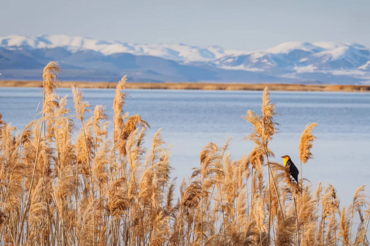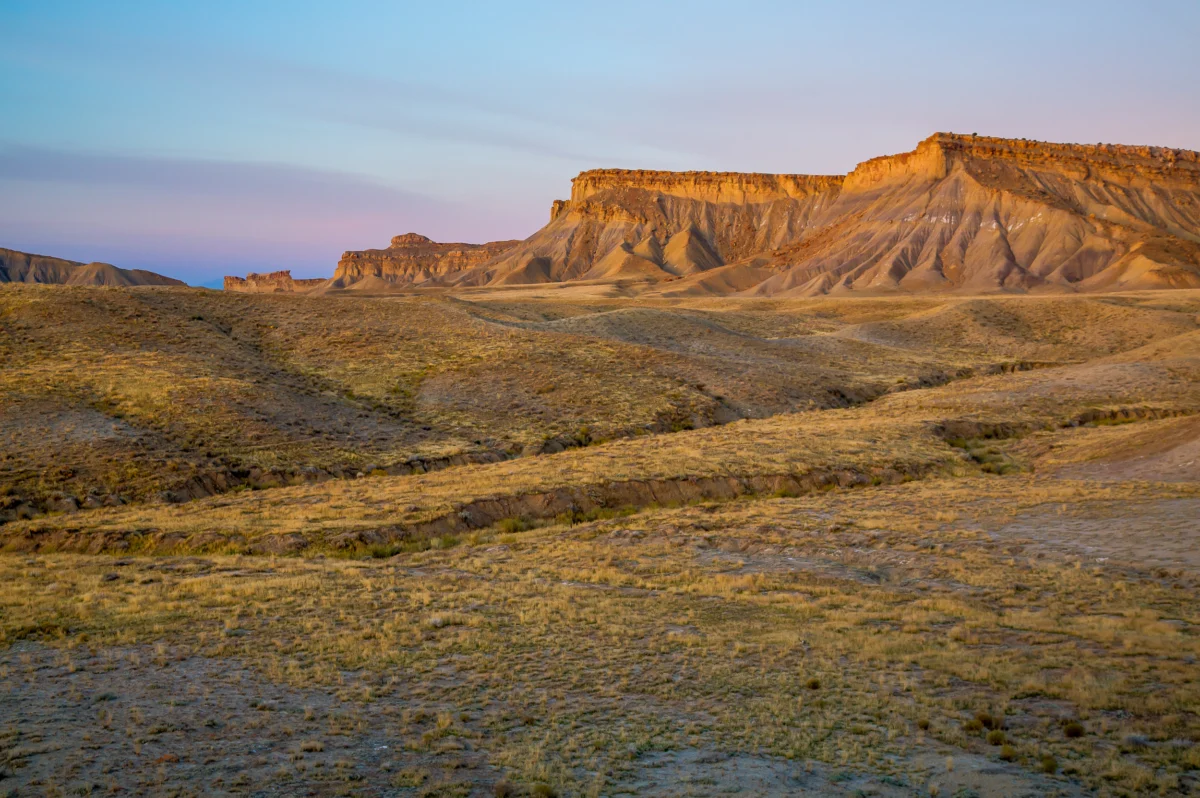

Growing up in southwestern Colorado, nestled beside a tributary of the Colorado River, I was immersed not only in the intricate details of water law but also in the distinct culture of the American West, a culture shaped by the constant specter of scarcity. A common refrain, often used to justify new dam construction or less-than-efficient irrigation methods, was: "If we don’t use the water, it will just flow downstream to California." This sentiment, fueled by a mix of inter-state animosity and envy, particularly towards the larger, wealthier coastal neighbor, is deeply rooted in the region’s idiosyncratic water laws, which often create friction between upstream and downstream communities. As the Colorado River and its vital reservoirs reach critically low levels, and the seven states reliant on its waters struggle to forge a path forward, this long-held maxim demands re-examination, prompting the urgent question: how much of the Colorado River’s water should be allowed to flow downstream to California, Arizona, and Nevada?

The foundation of Western water law rests on the prior appropriation doctrine, often summarized as "first in time, first in right." This principle grants the initial entity to make a "beneficial use" of water the perpetual right to that same quantity, even if it means cutting off "junior" users upstream during times of shortage. By the early 20th century, a rapidly expanding California was aggressively diverting the Colorado River, with vast agricultural districts securing senior water rights. This left less populous states like Colorado, Wyoming, and Utah watching with growing concern as downstream users gained control over increasingly larger shares of "their" river. To placate these headwaters states and secure their support for ambitious dam and water infrastructure projects on the lower river, the seven Colorado River Basin states convened to negotiate the Colorado River Compact of 1922. This landmark agreement divided the basin into an Upper Basin (Colorado, Wyoming, Utah, and New Mexico) and a Lower Basin (Arizona, California, and Nevada), with the dividing line established at Lees Ferry, Arizona. The compact’s ambitious goal was to divide the river’s water equally, allocating each basin an exclusive right to 7.5 million acre-feet of water annually.
Crucially, the 30 tribal nations residing within the watershed, who represent the river’s most senior water users, were deliberately excluded from the 1922 compact negotiations, a move that represented a profound affront to tribal sovereignty and set the stage for future conflicts as these tribes sought to quantify and settle their water rights with the federal government. Each tribe’s allocation is subsumed within the respective basin and state allotments. Current negotiations primarily focus on how necessary water use reductions will be shared between the basins. The ultimate impact on individual users, including tribes, will be determined within each basin through subsequent negotiations, likely adhering to the prior appropriation framework. Tribes in the Lower Basin, possessing pre-compact "present perfected rights," would likely be shielded from any mandated cuts under this arrangement.

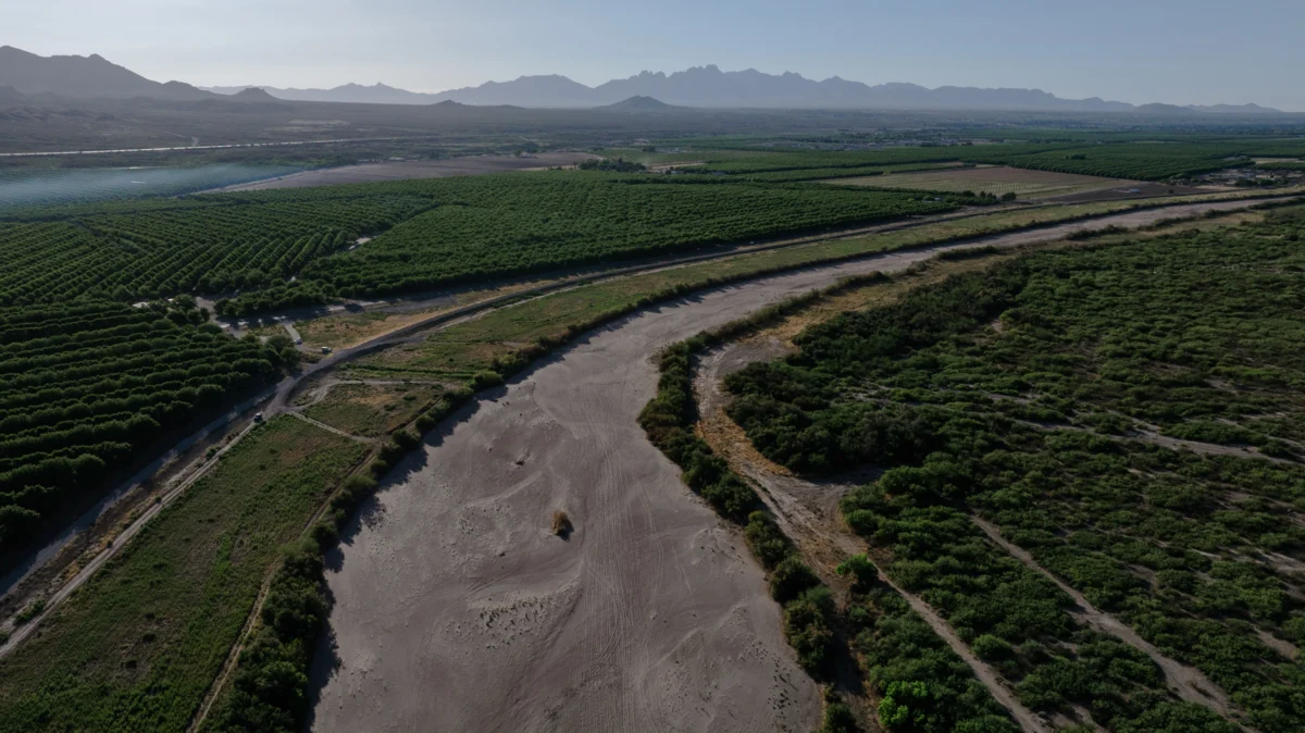
The Colorado River Compact, despite its flaws, largely managed to maintain the principle of equal water division for decades. However, the reality often deviated from the compact’s figures: Upper Basin states consistently used far less than their allocated amount, typically around 4 million acre-feet, while the Lower Basin frequently consumed more than its share, sometimes exceeding 11 million acre-feet. This imbalance was manageable as long as the river possessed abundant water. Yet, for the past 26 years, this has no longer been the case.
Compounding the issue, warming temperatures and persistent drought conditions have severely diminished the snowpack in the headwaters states, leading to a significant reduction in the Colorado River’s flow. Since the turn of the century, the average annual "natural flow" at Lees Ferry, which represents the estimated water volume without upstream diversions or human consumption, has hovered around 12 million acre-feet. In 2002, this figure plummeted to just over 6 million acre-feet, less than half of what the Lower Basin alone was consuming at the time. These meager flows are fundamentally incompatible with the compact’s allocations, making it exceedingly difficult for the Upper Basin states to comply with the compact’s "non-depletion clause." This provision mandates that the Upper Basin "will not cause the flow of the river at Lee Ferry to be depleted below an aggregate of 75,000,000 acre feet for any period of ten consecutive years." While interpretations vary, this clause appears to obligate Upper Basin states to allow water to flow downstream to California, even if it means they face shortages themselves.

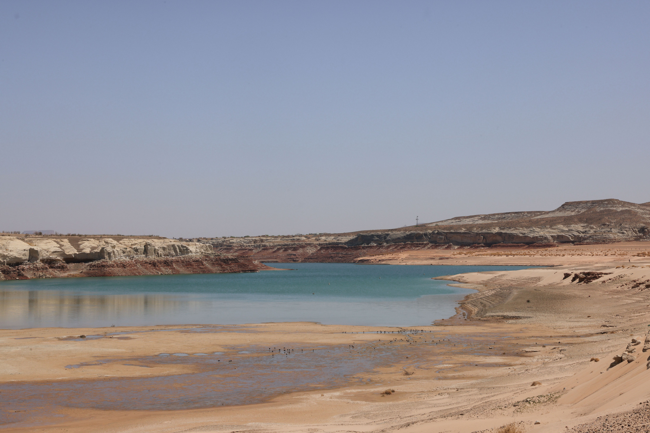
The construction of Glen Canyon Dam and Lake Powell was intended to serve as an Upper Basin water reserve, a crucial buffer to draw upon during drier periods. However, in recent decades, withdrawals have consistently outpaced deposits, leaving Lake Powell at roughly one-third of its storage capacity. Alarmingly, its surface level is drawing critically close to the minimum power pool – the point at which water can no longer be released through the dam’s hydroelectric turbines. Current federal forecasts suggest this critical threshold could be reached as early as the upcoming fall.
The cessation of hydropower generation at Glen Canyon Dam would have significant repercussions for Southwestern utilities. Furthermore, it would necessitate all water releases to be channeled through outlets located lower in the dam, which were not designed for such prolonged and sustained use. This could compromise the integrity of these outlets and potentially the dam itself. Bureau of Reclamation engineers have issued stern warnings against this scenario, effectively designating the minimum power pool as the de facto dead pool. Under continuing climate change trends, avoiding this scenario, without an immediate and substantial re-engineering of the dam, hinges on either significantly increasing inflows into Lake Powell by curtailing Upper Basin water use and draining upstream reservoirs, or drastically reducing releases from Glen Canyon Dam. Such a reduction would impose severe cuts on the Lower Basin, impacting the Grand Canyon ecosystem and its endangered native fish.

The path to resolving the Colorado River crisis is conceptually straightforward, yet achieving consensus among the stakeholders remains a formidable challenge. In 2022, the Department of the Interior formally instructed the seven states to devise a plan to align demand with the river’s diminishing supply, necessitating an annual reduction in consumptive use ranging from 2 to 4 million acre-feet. To date, however, the states have been unable to reach a collective agreement. The Lower Basin states, having already reached and exceeded their allocated water rights, have implemented some initial cuts and have signaled their willingness to accept further reductions, contingent upon the Upper Basin agreeing to mandatory and verifiable cuts of its own. Simultaneously, the Lower Basin desires the retention of some form of the non-depletion provision.
Negotiators from the Upper Basin contend that they have not yet approached their full water allocation and, moreover, consume significantly less water overall compared to the Lower Basin. They question the fairness of being compelled to implement further reductions. Additionally, Upper Basin water users, particularly those with junior water rights, already face substantial curtailments during dry years due to the region’s lack of extensive water storage reservoirs. This means their water access is directly dictated by river flows. For instance, in 2021, many farms in southwestern Colorado experienced their water diversions being shut off as early as June, forcing them to abandon agricultural operations for the season, while the Ute Mountain Ute Tribe received only about 10% of its allocated water.

Logistically, reducing water consumption is also more manageable in the Lower Basin, where substantial water users are served by a limited number of large-scale diversions. These include the Central Arizona Project canal, supplying water to Phoenix and Tucson; the All-American Canal, serving the Imperial Irrigation District with its vast alfalfa fields – the single largest water consumer on the entire river; and the Colorado River Aqueduct, which provides water to Los Angeles and other metropolitan areas, all drawing from Lake Mead and other reservoirs. In contrast, the Upper Basin draws water from the river and its tributaries through hundreds of much smaller diversions. Achieving significant reductions would necessitate shutting off thousands of irrigation ditches serving thousands of individual water users, a complex undertaking with uncertain legal authority.
In response, Upper Basin negotiators have proposed a "supply-driven" plan. This approach would anchor releases from Lake Powell to the prevailing water levels in the river and the reservoir, thereby respecting the spirit, if not the precise figures, of the Colorado River Compact. While Lower Basin negotiators have expressed interest, the two sides have yet to agree on critical details, such as the specific percentage of flows to be released or whether a non-depletion minimum-flow requirement would remain in effect.

Ultimately, the river basin’s climate and hydrology are likely to dictate the resolution of this complex issue. As Lake Powell continues its descent this summer, the Bureau of Reclamation will likely draw down upstream reservoirs – Flaming Gorge, Blue Mesa, and Navajo – in an effort to mitigate its decline. However, once the reservoir reaches its minimum power pool, dam operators will face a difficult choice: release water through the river outlets and risk their failure, or transition Glen Canyon Dam to a "run-of-the-river" operation. This latter option would stabilize the reservoir level by matching releases to inflows minus evaporation and seepage. The resulting diminished outflows from the dam would cause Lake Mead’s levels to plummet, forcing the Lower Basin states to accept potentially devastating water cuts. The Central Arizona Project, one of the basin’s most junior water rights holders, would almost certainly face significant reductions, jeopardizing the water supply for all the cities and agricultural operations it serves. Should these reduced releases persist for an extended period, it could place the Upper Basin in violation of the non-depletion clause, leading to litigation from downstream users and potentially reverting the entire watershed to the contentious and anxious conditions that predated the compact.
In my youth, I often pondered the apprehension surrounding Colorado’s water flowing downstream to California, as if such a transfer constituted a transgression. While the desire to retain water originating within one’s state is understandable, the preference for allowing it to stagnate in reservoirs or be wasted over sharing it seemed counterintuitive. After all, every drop that Colorado contributes to California and Arizona prolongs the river’s flow, benefiting aquatic ecosystems and the diverse array of wildlife and recreational activities that depend on its waters. I suspect the most profound flaw of the Colorado River Compact was not its optimistic estimation of the river’s water volume, but rather its adversarial approach, pitting states, tribes, and water users against one another, rather than fostering a collaborative framework for the benefit of the entire watershed. Perhaps the time has come to reconsider the compact entirely and, in doing so, to re-evaluate the prior appropriation doctrine as it applies to the Colorado River – essentially, starting anew. As the climate continues its warming and drying trajectory, the available water will only diminish, rendering disputes over its allocation increasingly futile. If there is no water left to send downstream, the Colorado River Compact will soon be worth less than the paper on which it is inscribed.