

The foundation of Western water law, the prior appropriation doctrine, dictates that the first entity to make "beneficial use" of water secures a perpetual right to that amount, often referred to as senior rights, regardless of downstream needs. By the early 20th century, a rapidly expanding California, with its burgeoning agricultural sector and growing population, had secured significant senior water rights along the Colorado River. This left less developed Upper Basin states like Colorado, Wyoming, and Utah watching as a substantial portion of their water flowed downstream, fueling California’s growth. To temper the growing discontent among these headwaters states and to secure their support for ambitious federal water projects on the lower river, the seven Colorado River Basin states convened to forge the Colorado River Compact. This landmark agreement, signed in 1922, partitioned the basin into an Upper Division (Colorado, Wyoming, Utah, and New Mexico) and a Lower Division (Arizona, California, and Nevada), with Lees Ferry in Arizona serving as the dividing point. The compact stipulated an equal division of the river’s water, allocating 7.5 million acre-feet (MAF) annually to each basin, a figure that was based on an optimistic assessment of the river’s flow.
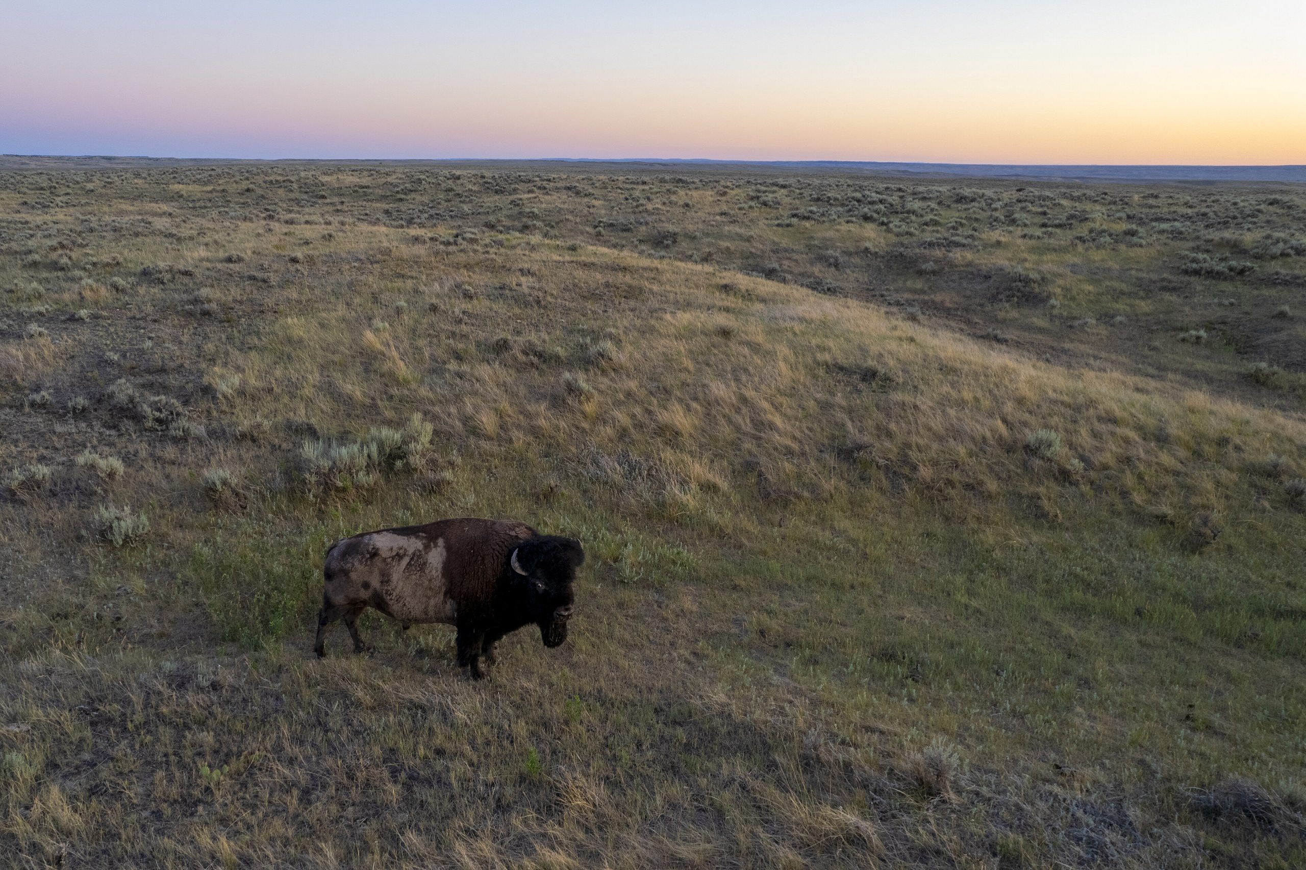
Crucially, the 30 tribal nations residing within the Colorado River watershed, who hold the most senior water rights as the river’s original inhabitants, were deliberately excluded from the 1922 compact negotiations, a stark disregard for tribal sovereignty that has sown seeds of future conflict. The framers of the compact effectively subsumed tribal allocations within the broader allocations of their respective states and basins. Current negotiations over necessary water use reductions are centered on how these cuts will be distributed between the Upper and Lower Basins. The eventual impact on individual users, including tribal communities, will be determined within each basin through subsequent negotiations, likely adhering to the prior appropriation doctrine. Tribes with pre-compact, "present perfected rights," particularly in the Lower Basin, are generally considered immune from mandatory cuts under this framework, although their actual water delivery could still be indirectly affected by overall basin shortages.
While the Colorado River Compact aimed for equitable distribution, its practical application revealed significant disparities. The Upper Basin states consistently used far less than their allotted 7.5 MAF, typically around 4 MAF, while the Lower Basin, particularly California, consistently consumed more than its share, sometimes exceeding 11 MAF annually. This imbalance was manageable when the river flowed abundantly, but the situation has dramatically shifted over the past 26 years. A prolonged drought, exacerbated by rising global temperatures, has severely depleted the snowpack in the headwaters, the primary source of the Colorado River’s flow. Since the turn of the century, the average annual "natural flow" at Lees Ferry—the estimated volume of water the river would carry without human intervention—has dwindled to approximately 12 MAF, with a stark dip below 6 MAF recorded in 2002, a level less than half of what the Lower Basin alone was consuming at the time.

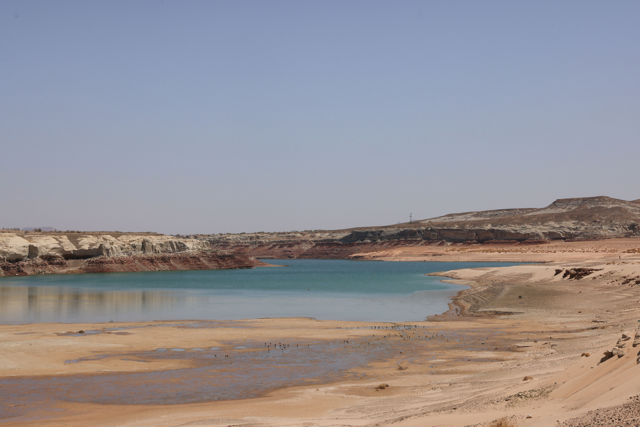
These diminished flows directly challenge the core tenets of the compact, making it nearly impossible for the Upper Basin states to adhere to the "non-depletion clause." This clause stipulates that the Upper Basin "will not cause the flow of the river at Lee Ferry to be depleted below an aggregate of 75,000,000 acre feet for any period of ten consecutive years." While interpretations vary, this provision effectively mandates that the Upper Basin must allow sufficient water to flow downstream to California, even if it means their own supplies are insufficient. The construction of Glen Canyon Dam and the creation of Lake Powell were intended to serve as a critical water reserve for the Upper Basin, a buffer against dry years. However, in recent decades, withdrawals from Lake Powell have consistently outpaced inflows, leaving the reservoir at approximately one-third of its full capacity. Alarmingly, the water level is nearing the "minimum power pool," the critical threshold below which hydroelectric power generation from the dam ceases.
The potential cessation of hydropower generation at Glen Canyon Dam, which could occur as early as the upcoming fall according to federal projections, would have far-reaching consequences. It would disrupt electricity supplies for utilities across the Southwest and force water releases to occur through lower outlets in the dam. These outlets were not designed for prolonged, high-volume use, raising concerns about their structural integrity and the potential for damage to the dam itself. Bureau of Reclamation engineers have strongly cautioned against this scenario, effectively designating the minimum power pool as a de facto dead pool. Continued climate warming trends present a stark choice: either significantly increase inflows into Lake Powell by curtailing Upper Basin water use and draining upstream reservoirs, or drastically reduce releases from Glen Canyon Dam. The latter option would impose severe water restrictions on the Lower Basin and jeopardize the ecological health of the Grand Canyon and its native aquatic life.

The path forward requires a drastic reduction in overall consumptive use across the basin, estimated by the Interior Department to be between 2 million and 4 million acre-feet per year. Despite this urgent directive, issued in 2022, the seven states have struggled to achieve a consensus on how to implement these cuts. The Lower Basin states, having already exceeded their allocations and having made some concessions, are willing to accept further reductions contingent on the Upper Basin agreeing to mandatory, verifiable cuts of its own. Simultaneously, the Lower Basin seeks the retention of some form of the non-depletion provision.
Upper Basin negotiators argue that they have not yet utilized their full water entitlements and consume significantly less water than the Lower Basin. They question the necessity of further reductions, particularly for those with junior water rights who already face severe restrictions during dry periods due to the lack of substantial upstream storage. In 2021, for instance, numerous farms in southwestern Colorado saw their water access cut off as early as June, leading to fallowed fields, while the Ute Mountain Ute Tribe received only about 10% of its allocated water. Furthermore, implementing significant water conservation measures is logistically simpler in the Lower Basin, where large-scale diversions like the Central Arizona Project, serving Phoenix and Tucson, and the All-American Canal, supplying the Imperial Irrigation District—the river’s single largest water consumer—and the Colorado River Aqueduct, serving Los Angeles and other cities, are managed by a limited number of major entities. In contrast, the Upper Basin draws water through hundreds of smaller diversions, meaning substantial cuts would necessitate shutting down thousands of individual irrigation ditches serving a vast number of small water users, a complex and potentially contentious undertaking.

As a potential compromise, Upper Basin negotiators have proposed a "supply-driven" plan that would base releases from Lake Powell on the river’s and reservoir’s current water levels, thereby aligning with the spirit, if not the exact figures, of the Colorado River Compact. While Lower Basin states have shown some interest in this concept, agreement on critical details, such as the percentage of flows to be released and the status of the non-depletion minimum-flow requirement, remains elusive.
Ultimately, the immutable forces of climate and hydrology may dictate the resolution. As Lake Powell continues its descent this summer, the Bureau of Reclamation is likely to release water from upstream reservoirs—Flaming Gorge, Blue Mesa, and Navajo—to mitigate its decline. However, once Lake Powell reaches its minimum power pool, dam operators will face a difficult decision: release water through the river outlets, risking damage to the dam, or switch Glen Canyon Dam to a "run-of-the-river" operation. This latter scenario would equalize releases with inflows, minus evaporation and seepage, thereby stabilizing the reservoir level. The resulting reduced outflows would cause Lake Mead’s levels to plummet, compelling the Lower Basin states to accept potentially devastating water cuts. The Central Arizona Project, holding one of the basin’s most junior water rights, would almost certainly face significant reductions, jeopardizing the water supply for cities and agricultural operations dependent upon it. If these diminished releases persist, the Upper Basin could be found in violation of the non-depletion clause, potentially triggering protracted litigation from downstream users and reverting the entire watershed to the contentious water disputes of the pre-compact era.

The author’s childhood experiences in southwestern Colorado, witnessing the deep-seated regional water culture shaped by perceived scarcity, fostered a questioning of the prevailing notion that allowing water to flow downstream was inherently wasteful. The author posits that the most significant failing of the Colorado River Compact was not its overestimation of water availability, but its divisive nature, pitting states and users against each other rather than fostering a collaborative framework for the entire watershed. As the climate continues to warm and aridify, the diminishing water resources will leave fewer grounds for contention. The Colorado River Compact, if unable to adapt, risks becoming a historical document with little practical value as the river it governs dwindles to a trickle.